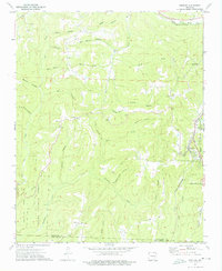
1973 Map of Winslow
USGS Topo · Published 1976About this map
Winslow sits at a high point of the Ozarks where the St Louis-San Francisco railroad tunnels through the divide, a critical junction in the Boston Mountains during the early 1970s. The landscape is defined by deep incisions like Honey Hollow and Lee Creek, creating a rugged isolation that shaped the settlement patterns of Blackburn and Boston. Rural life is centered around local congregations such as Bethlehem Ch and Blackburn Ch, while the southern portion of the quadrangle descends into the protected wilderness of Devils Den State Park and the Ozark National Forest. The presence of the Kelton Cem and Collier Cem provides specific points of interest for genealogists tracing family names along the Washington Co Crawford Co line. These features, combined with the winding paths of Riley Creek and Winn Creek, illustrate the persistent reliance on narrow valley floors and ridgelines for transport and habitation.
Find a feature on this map
41 named features on this map. Tap any name to fly to it.
Don’t see what you’re looking for? This feature index may not catch every label — zoom into the map to look around manually.
Map Details
Editions of this 1973 Winslow Map
3 editions found
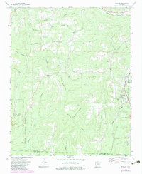
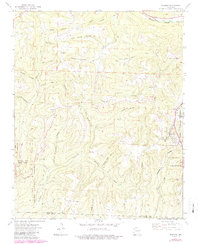
Other maps of this area

1898 · Winslow #4
USGS Topo · 1:62,500

1898 · Winslow #3
USGS Topo · 1:62,500

1898 · Winslow
USGS Topo · 1:125,000

1901 · Winslow
USGS Topo · 1:125,000

1946 · Fort Smith
USGS Topo · 1:250,000

1965 · Fort Smith
USGS Topo · 1:250,000

1967 · Fort Smith
USGS Topo · 1:250,000
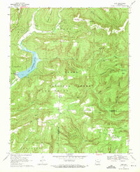
1969 · Fern
USGS Topo · 1:24,000
1969 · Mountainburg
USGS Topo · 1:24,000
1970 · Rudy NE
USGS Topo · 1:24,000