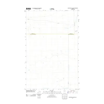
2013 Map of Winter Road Lake NW
USGS Topo · Published 2013About this map
E Br Warroad River and several artificial waterways define the low-lying terrain along the border of Roseau and Lake of the Woods counties. This 2013 survey documents a remote landscape dominated by timber management and water control, where Judicial Ditch Number Sixtytwo cuts across the landscape to manage the region's drainage. The presence of a Beaver Pond and winding forest tracks like Bednar Trl reflect the wilderness character of the area. Transportation is limited to a sparse network of forest routes, including Roosevelt Forest Rd and Cole Forest Rd, which serve the dense woods in the northern reaches of the state.
Find a feature on this map
8 named features on this map. Tap any name to fly to it.
Don’t see what you’re looking for? This feature index may not catch every label — zoom into the map to look around manually.
Map Details
Editions of this 2013 Winter Road Lake NW Map
This is the sole edition of this map. No revisions or reprints were ever made.
Other maps of this area

1918 · Winterroad
USGS Topo · 1:62,500

1918 · Roosevelt
USGS Topo · 1:62,500

1918 · Warroad
USGS Topo · 1:62,500

1943 · Roosevelt
USGS Topo · 1:62,500

1943 · Warroad
USGS Topo · 1:62,500

1954 · Roseau
USGS Topo · 1:250,000

1957 · Roseau
USGS Topo · 1:250,000

1958 · Roseau
USGS Topo · 1:250,000
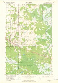
1967 · Roosevelt
USGS Topo · 1:24,000
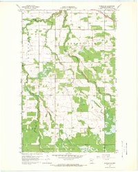
1967 · Warroad SE
USGS Topo · 1:24,000