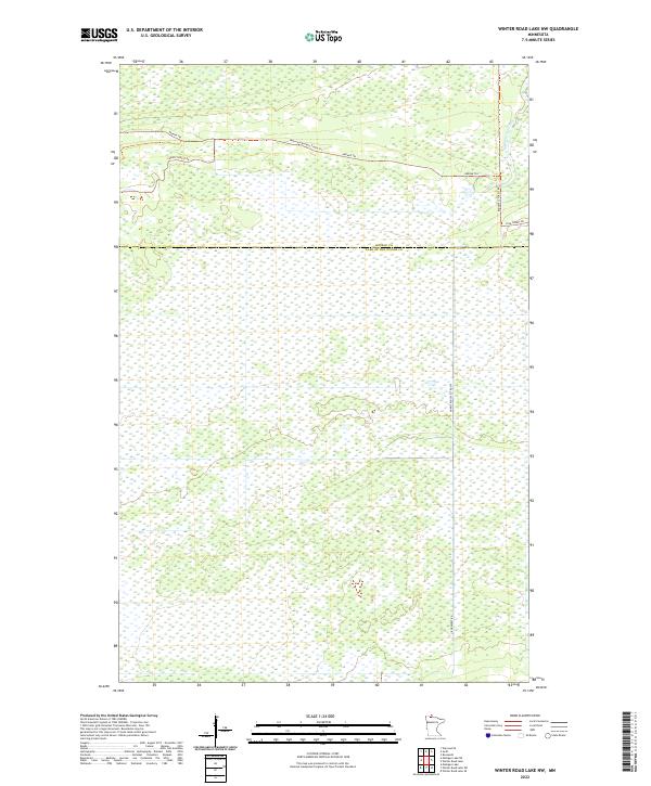
2022 Map of Winter Road Lake NW
USGS Topo · Published 2022About this map
Low-lying wetlands and dense forest roads define this northern landscape along the border of Roseau and Lake of the Woods counties. The terrain is structured by a network of timber and access routes, including Roosevelt Forest Rd and the Warroad/Roseau Trails Trl. These corridors pierce through the swampy expanse, where drainage is primarily facilitated by the E Br Warroad River in the northeast corner of the quadrangle.
Find a feature on this map
14 named features on this map. Tap any name to fly to it.
Don’t see what you’re looking for? This feature index may not catch every label — zoom into the map to look around manually.
Map Details
Editions of this 2022 Winter Road Lake NW Map
This is the sole edition of this map. No revisions or reprints were ever made.
Other maps of this area

1918 · Winterroad
USGS Topo · 1:62,500

1918 · Roosevelt
USGS Topo · 1:62,500

1918 · Warroad
USGS Topo · 1:62,500

1943 · Roosevelt
USGS Topo · 1:62,500

1943 · Warroad
USGS Topo · 1:62,500

1954 · Roseau
USGS Topo · 1:250,000

1957 · Roseau
USGS Topo · 1:250,000

1958 · Roseau
USGS Topo · 1:250,000
1967 · Roosevelt
USGS Topo · 1:24,000
1967 · Warroad SE
USGS Topo · 1:24,000