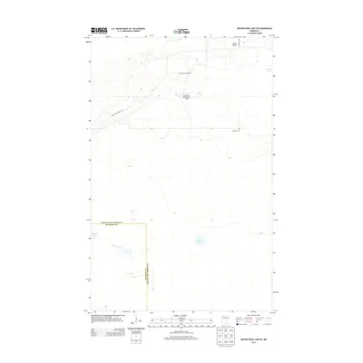
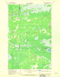
2013 Map of Winter Road Lake SW
USGS Topo · Published 2013About this map
Wildwood Cem and the Norris Lookout Tower anchor this northern Minnesota landscape along the border of Beltrami and Lake of the Woods counties. The topography is defined by the headwaters of the Roseau River and a collection of isolated water bodies including Mulligan Lake, Lost Lake, and Browns Lake. The remote character of the region is reflected in its sparse road network, primarily featuring Faunce-Butterfield Rd and Roosevelt Rd. Notable infrastructure includes the Cox-Coyour Memorial Air Field, a specialized landing strip in a region otherwise dominated by wetlands and forests. This 2013 survey provides a clear view of the state's northern wildlands before significant modern development, preserving the locations of rural landmarks used by foresters and local residents.
Find a feature on this map
11 named features on this map. Tap any name to fly to it.
Don’t see what you’re looking for? This feature index may not catch every label — zoom into the map to look around manually.
Map Details
Editions of this 2013 Winter Road Lake SW Map
This is the sole edition of this map. No revisions or reprints were ever made.
Other maps of this area

1918 · Winterroad
USGS Topo · 1:62,500

1918 · F
USGS Topo · 1:62,500

1918 · Malcolm
USGS Topo · 1:62,500

1954 · Roseau
USGS Topo · 1:250,000

1957 · Roseau
USGS Topo · 1:250,000

1958 · Roseau
USGS Topo · 1:250,000
1968 · Winter Road Lake
USGS Topo · 1:24,000
1968 · Mulligan Lake NE
USGS Topo · 1:24,000
1968 · Winter Road Lake NW
USGS Topo · 1:24,000
1968 · Mulligan Lake
USGS Topo · 1:24,000