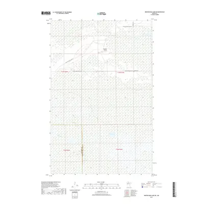
2019 Map of Winter Road Lake SW
USGS Topo · Published 2019About this map
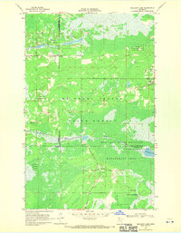
Wildwood Cem and Cox-Coyour Memorial Air Field stand as the primary human markers in this expansive wetland landscape. Situated along the border of Beltrami and Lake of the Woods counties, the terrain is defined by its complex hydrology and forest access roads. The Roseau River winds through the southern reaches, while isolated water bodies like Browns Lake and Lost Lake dot the low-lying northern sections.
Find a feature on this map
13 named features on this map. Tap any name to fly to it.
Don’t see what you’re looking for? This feature index may not catch every label — zoom into the map to look around manually.
Map Details
Editions of this 2019 Winter Road Lake SW Map
This is the sole edition of this map. No revisions or reprints were ever made.
Other maps of this area

1918 · Winterroad
USGS Topo · 1:62,500

1918 · F
USGS Topo · 1:62,500

1918 · Malcolm
USGS Topo · 1:62,500

1954 · Roseau
USGS Topo · 1:250,000

1957 · Roseau
USGS Topo · 1:250,000

1958 · Roseau
USGS Topo · 1:250,000
1968 · Winter Road Lake
USGS Topo · 1:24,000
1968 · Mulligan Lake NE
USGS Topo · 1:24,000
1968 · Winter Road Lake NW
USGS Topo · 1:24,000
1968 · Mulligan Lake
USGS Topo · 1:24,000