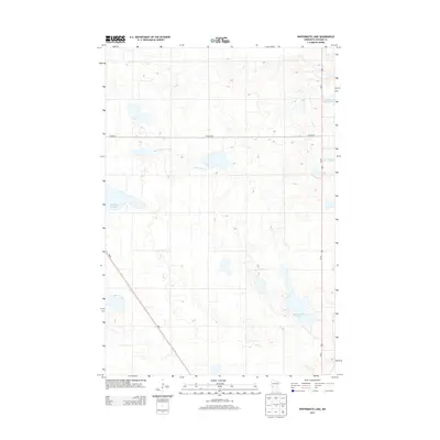
2013 Map of Wintermute Lake
USGS Topo · Published 2013About this map
The glacial hydrology of Stevens County defines this landscape, where numerous basins and wetlands punctuate the prairie terrain. Wintermute Lake and the northern reaches of the Pomme de Terre Lakes, including N Pomme de Terre Lake, serve as the primary geographical anchors for this region just outside of Donnelly. The map illustrates a meticulously organized section-line road network, dominated by Us-59 running north-south and the diagonal route of MN-9 cutting across the southwestern corner. These arterial roads connect the scattered water bodies, such as the secluded Harstad Slough and the winding Twelvemile Cr, showing a rural environment where land use is dictated by the subtle elevation changes of the Minnesota plains. This 2013 survey provides a clear view of the modern agricultural grid and the natural drainage patterns that have shaped local farming and settlement for generations.
Find a feature on this map
8 named features on this map. Tap any name to fly to it.
Don’t see what you’re looking for? This feature index may not catch every label — zoom into the map to look around manually.
Map Details
Editions of this 2013 Wintermute Lake Map
This is the sole edition of this map. No revisions or reprints were ever made.
Other maps of this area

1910 · Chokio
USGS Topo · 1:62,500

1911 · Barrett
USGS Topo · 1:62,500

1911 · Herman
USGS Topo · 1:62,500

1912 · Chokio
USGS Topo · 1:62,500

1912 · Morris
USGS Topo · 1:62,500

1953 · Milbank
USGS Topo · 1:250,000

1953 · Saint Cloud
USGS Topo · 1:250,000

1957 · Saint Cloud
USGS Topo · 1:250,000

1958 · Milbank
USGS Topo · 1:250,000

1958 · Saint Cloud
USGS Topo · 1:250,000