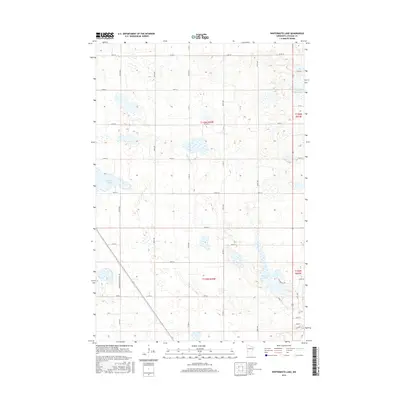
2016 Map of Wintermute Lake
USGS Topo · Published 2016About this map
Wintermute Lake and the surrounding prairie wetlands of Stevens County are captured in this 2016 survey, reflecting a landscape shaped by glacial hydrology and agricultural partition. The area is defined by its numerous sloughs and basins, most notably Harstad Slough in the west and the northern reaches of N Pomme de Terre Lake in the northeast. A rigid grid of section lines and gravel roads, such as Co Rd 74 and 110th St, organizes the terrain into a series of expansive farm plots. The drainage of the land is visible through Twentymile Cr, which cuts through the central townships. Local transportation routes, including a segment of Minimum Maintenance Rd and the residential Wintermute Ln, provide access to the remote lakefronts and interior fields typical of this Minnesota till plain.
Find a feature on this map
29 named features on this map. Tap any name to fly to it.
Don’t see what you’re looking for? This feature index may not catch every label — zoom into the map to look around manually.
Map Details
Editions of this 2016 Wintermute Lake Map
This is the sole edition of this map. No revisions or reprints were ever made.
Other maps of this area

1910 · Chokio
USGS Topo · 1:62,500

1911 · Barrett
USGS Topo · 1:62,500

1911 · Herman
USGS Topo · 1:62,500

1912 · Chokio
USGS Topo · 1:62,500

1912 · Morris
USGS Topo · 1:62,500

1953 · Milbank
USGS Topo · 1:250,000

1953 · Saint Cloud
USGS Topo · 1:250,000

1957 · Saint Cloud
USGS Topo · 1:250,000

1958 · Milbank
USGS Topo · 1:250,000

1958 · Saint Cloud
USGS Topo · 1:250,000