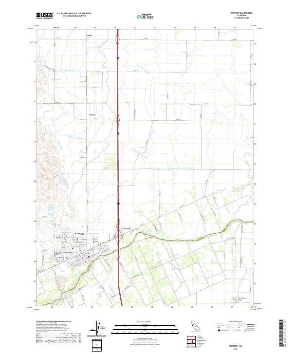
2021 Map of Winters
USGS Topo · Published 2021About this map
The town of Winters sits at the base of the lower foothills where the Central Sacramento Valley Valley begins its westward stretch. This agricultural landscape is defined by an intricate network of water management, with the Putah Creek corridor forming the boundary between Yolo and Solano Counties. To the north, the terrain is partitioned by a series of irrigation features and natural drainage ways, including the Yolo Central Canal, Winters Canal, and Union School Slough.
Find a feature on this map
78 named features on this map. Tap any name to fly to it.
Don’t see what you’re looking for? This feature index may not catch every label — zoom into the map to look around manually.
Map Details
Editions of this 2021 Winters Map
This is the sole edition of this map. No revisions or reprints were ever made.
Other maps of this area

1902 · Napa
USGS Topo · 1:125,000

1905 · Esparto
USGS Topo · 1:24,000

1907 · Woodland
USGS Topo · 1:62,500

1908 · Vacaville
USGS Topo · 1:62,500

1915 · Yolo
USGS Topo · 1:31,680

1915 · Merritt
USGS Topo · 1:31,680

1916 · Dixon
USGS Topo · 1:31,680

1916 · Jacobs Corner
USGS Topo · 1:31,680

1916 · Winters
USGS Topo · 1:31,680

1916 · Esparto
USGS Topo · 1:31,680