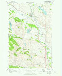
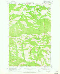
1969 Map of Winthrop
USGS Topo · Published 1973About this map
Winthrop serves as the central hub of this Methow Valley landscape, situated at the confluence of the Methow River and the Chewack River. The town is characterized by its essential mid-century infrastructure, including the Winthrop HS, a local Cem, and the Winthrop National Fish Hatchery. The surrounding area is heavily influenced by water management and recreational development, seen in the numerous lakes like Pearrygin Lake and Patterson Lake, and the winding Canal system east of the river.
Find a feature on this map
34 named features on this map. Tap any name to fly to it.
Don’t see what you’re looking for? This feature index may not catch every label — zoom into the map to look around manually.
Map Details
Editions of this 1969 Winthrop Map
2 editions found
Other maps of this area

1899 · Methow
USGS Topo · 1:125,000

1901 · Methow
USGS Topo · 1:125,000

1955 · Concrete
USGS Topo · 1:250,000

1958 · Concrete
USGS Topo · 1:250,000

1962 · Concrete
USGS Topo · 1:250,000

1962 · Mazama
USGS Topo · 1:62,500

1963 · Doe Mountain
USGS Topo · 1:62,500
1969 · Thompson Ridge
USGS Topo · 1:24,000
1969 · Buttermilk Butte
USGS Topo · 1:62,500
1969 · Twisp West
USGS Topo · 1:24,000