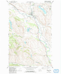
1969 Map of Winthrop
USGS Topo · Published 1991About this map
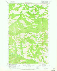
The confluence of the Chewuch River and the Methow River Valley serves as the focal point for this 1969 field-checked survey of Winthrop. This period highlights the community's infrastructure, from the Winthrop HS and Sullivan Cem to the specialized operations of the Winthrop National Fish Hatchery located south of the town center. The landscape is characterized by a high density of water features and recreational spaces, including Pearrygin Lake State Park and the Methow State Wildlife Area.
Find a feature on this map
41 named features on this map. Tap any name to fly to it.
Don’t see what you’re looking for? This feature index may not catch every label — zoom into the map to look around manually.
Map Details
Editions of this 1969 Winthrop Map
2 editions found
Other maps of this area

1899 · Methow
USGS Topo · 1:125,000

1901 · Methow
USGS Topo · 1:125,000

1955 · Concrete
USGS Topo · 1:250,000

1958 · Concrete
USGS Topo · 1:250,000

1962 · Concrete
USGS Topo · 1:250,000

1962 · Mazama
USGS Topo · 1:62,500

1963 · Doe Mountain
USGS Topo · 1:62,500
1969 · Thompson Ridge
USGS Topo · 1:24,000
1969 · Buttermilk Butte
USGS Topo · 1:62,500
1969 · Twisp West
USGS Topo · 1:24,000