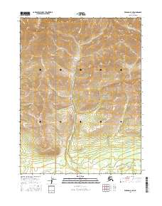
2016 Map of Wiseman A-3 NE
USGS Topo · Published 2016About this map
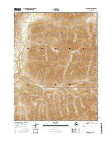
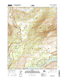
Gates of the Arctic National Park dominates this interior Alaska landscape, providing a preserved look at the northern wilderness as it stood in the early 21st century. The drainage patterns of the Central Brooks Range are clearly defined by Florence Cr, which travels southward through the center of the quadrangle. This glacial-cut terrain is further shaped by smaller tributaries like Mud Cr and Chicken Cr, illustrating the fundamental hydrological network of this remote subarctic region. The map serves as a primary record of the topographic character within the park boundaries, where the absence of roads or permanent structures reflects the primitive state of the land protected under the Alaska National Interest Lands Conservation Act.
Find a feature on this map
8 named features on this map. Tap any name to fly to it.
Don’t see what you’re looking for? This feature index may not catch every label — zoom into the map to look around manually.
Map Details
Editions of this 2016 Wiseman A-3 NE Map
This is the sole edition of this map. No revisions or reprints were ever made.
Other maps of this area

1951 · Wiseman
USGS Topo · 1:250,000

1956 · Wiseman
USGS Topo · 1:250,000

1964 · Wiseman
USGS Topo · 1:250,000

1970 · Wiseman A-3
USGS Topo · 1:63,360

1970 · Wiseman A-2
USGS Topo · 1:63,360
1971 · Wiseman B-3
USGS Topo · 1:63,360
1971 · Wiseman B-2
USGS Topo · 1:63,360
2016 · Wiseman A-3 NW
USGS Topo · 1:25,000
2016 · Wiseman B-3 SE
USGS Topo · 1:25,000
2016 · Wiseman A-3 SW
USGS Topo · 1:25,000