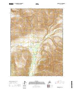
2017 Map of Wiseman B-2 NE
USGS Topo · Published 2017About this map
Gates Of The Arctic National Park encompasses the heart of this landscape, where the Glacier River carves a central path through the interior of the Yukon-Koyukuk region. The drainage network is dense with tributaries such as Conglomerate Cr and Mascot Cr, which feed the river from the surrounding high ground. The terrain is notably marked by Delay Pass, a significant topographical feature situated west of the river. This 2017 survey by the U.S. Geological Survey provides a precise view of the hydrology and elevation changes across this protected wilderness, documenting the winding course of the Bluecloud Cr and LaSalle Cr as they shape the remote basin.
Find a feature on this map
12 named features on this map. Tap any name to fly to it.
Don’t see what you’re looking for? This feature index may not catch every label — zoom into the map to look around manually.
Map Details
Editions of this 2017 Wiseman B-2 NE Map
This is the sole edition of this map. No revisions or reprints were ever made.
Other maps of this area

1951 · Wiseman
USGS Topo · 1:250,000

1956 · Wiseman
USGS Topo · 1:250,000

1964 · Wiseman
USGS Topo · 1:250,000

1971 · Wiseman C-2
USGS Topo · 1:63,360
1971 · Wiseman C-1
USGS Topo · 1:63,360
1971 · Wiseman B-1
USGS Topo · 1:63,360
1971 · Wiseman B-2
USGS Topo · 1:63,360
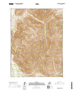
2017 · Wiseman C-2 SW
USGS Topo · 1:25,000
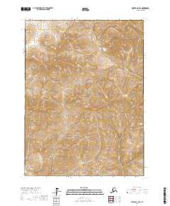
2017 · Wiseman C-2 SE
USGS Topo · 1:25,000
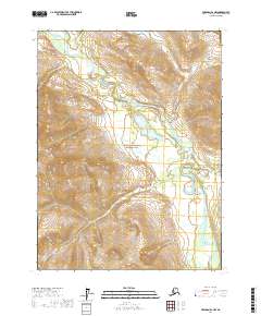
2017 · Wiseman B-2 NW
USGS Topo · 1:25,000