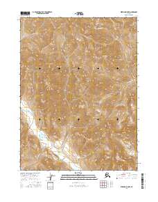
2016 Map of Wiseman B-5 NW
USGS Topo · Published 2016About this map
Sixtymile Cr and its headwaters define the high-altitude topography of this northern interior landscape, part of the Yukon-Koyukuk region. In this early twenty-first-century survey, the drainages of McKinley Cr and Origin Cr carve through the deep contours of the central and southern sections, while Rock Cr flows through the southeastern portion of the quadrangle. The map highlights the vast, undeveloped nature of this Brooks Range territory, structured by the Public Land Survey System grids of t31n r22w, t31n r21w, t30n r22w, and t30n r21w. The lack of man-made structures or improved roads underscores the isolation of these drainage basins, providing a clear record of the untouched hydrography and elevation before any modern industrial or infrastructure development reached these specific coordinates.
Find a feature on this map
8 named features on this map. Tap any name to fly to it.
Don’t see what you’re looking for? This feature index may not catch every label — zoom into the map to look around manually.
Map Details
Editions of this 2016 Wiseman B-5 NW Map
This is the sole edition of this map. No revisions or reprints were ever made.
Other maps of this area

1951 · Wiseman
USGS Topo · 1:250,000

1956 · Wiseman
USGS Topo · 1:250,000

1964 · Wiseman
USGS Topo · 1:250,000

1971 · Wiseman C-5
USGS Topo · 1:63,360
1971 · Wiseman B-5
USGS Topo · 1:63,360
1986 · Wiseman C-6
USGS Topo · 1:63,360
1986 · Wiseman B-6
USGS Topo · 1:63,360
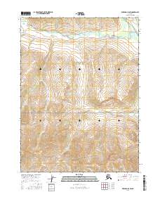
2016 · Wiseman C-5 SW
USGS Topo · 1:25,000
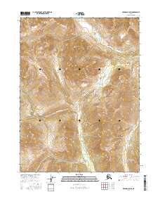
2016 · Wiseman B-5 SW
USGS Topo · 1:25,000
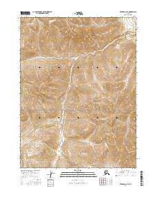
2016 · Wiseman C-6 SE
USGS Topo · 1:25,000