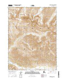
2016 Map of Wiseman B-6 NW
USGS Topo · Published 2016About this map
Gates Of The Arctic National Park encompasses the majority of this high-latitude terrain, where steep mountain ridges are bisected by numerous glacial-fed watercourses. In the southwest corner of the sheet, the expansive Ernie Lake sits as a significant alpine water body, feeding into Pass Cr which flows southward through the Brooks Range. The drainage patterns are a defining characteristic of this landscape, with Wolverine Cr and Shukok Cr carving deep valleys in the northern sections, while Sixtymile Cr and Mettenpherg Cr drain the eastern slopes. The absence of roads or permanent structures reflects the protected wilderness status of this region in the early twenty-first century, highlighting its role as an untouched corridor for natural processes and hydrographic study within the northern interior.
Find a feature on this map
11 named features on this map. Tap any name to fly to it.
Don’t see what you’re looking for? This feature index may not catch every label — zoom into the map to look around manually.
Map Details
Editions of this 2016 Wiseman B-6 NW Map
This is the sole edition of this map. No revisions or reprints were ever made.
Other maps of this area

1951 · Survey Pass
USGS Topo · 1:250,000

1951 · Wiseman
USGS Topo · 1:250,000

1956 · Wiseman
USGS Topo · 1:250,000

1956 · Survey Pass
USGS Topo · 1:250,000

1964 · Survey Pass
USGS Topo · 1:250,000

1964 · Wiseman
USGS Topo · 1:250,000

1966 · Survey Pass
USGS Topo · 1:250,000
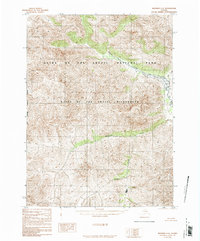
1986 · Wiseman C-6
USGS Topo · 1:63,360
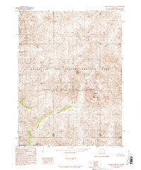
1986 · Survey Pass C-1
USGS Topo · 1:63,360
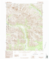
1986 · Wiseman B-6
USGS Topo · 1:63,360