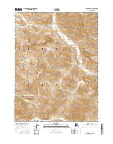
2016 Map of Wiseman C-4 NW
USGS Topo · Published 2016About this map
The Endicott Mountains dominate this 2016 survey, a landscape defined by sharp elevation changes and high-altitude drainage systems. Situated within the protected boundaries of Gates of the Arctic National Park, the area showcases a wilderness undisturbed by modern road infrastructure. The Allen River flows through the northern reaches, while the southeastern corner is marked by the winding path of Saint Louis Cr. Located in the remote Yukon-Koyukuk region, the map provides a look at the hydrography of the Brooks Range, including isolated features like Pet Lake. The absence of named human settlements reflects the preserved state of this high-latitude terrain, where the movement of water and the orientation of ridge lines are the primary indicators of geography.
Find a feature on this map
11 named features on this map. Tap any name to fly to it.
Don’t see what you’re looking for? This feature index may not catch every label — zoom into the map to look around manually.
Map Details
Editions of this 2016 Wiseman C-4 NW Map
This is the sole edition of this map. No revisions or reprints were ever made.
Other maps of this area

1951 · Wiseman
USGS Topo · 1:250,000

1956 · Wiseman
USGS Topo · 1:250,000

1964 · Wiseman
USGS Topo · 1:250,000

1971 · Wiseman C-4
USGS Topo · 1:63,360
1971 · Wiseman D-4
USGS Topo · 1:63,360

1971 · Wiseman C-5
USGS Topo · 1:63,360
1971 · Wiseman D-5
USGS Topo · 1:63,360
2016 · Wiseman C-4 SW
USGS Topo · 1:25,000
2016 · Wiseman C-5 NE
USGS Topo · 1:25,000
2016 · Wiseman C-4 SE
USGS Topo · 1:25,000