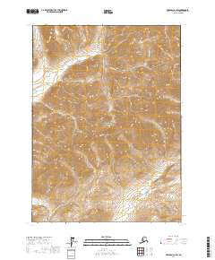
2017 Map of Wiseman D-1 SW
USGS Topo · Published 2017About this map
Gates Of The Arctic National Park encompasses a significant portion of this landscape, where the northern interior of Alaska reveals a dramatic topography of sharp ridges and deep river valleys. High elevations are punctuated by peaks such as Whiteface Mtn and Harvey Mtn, which serve as primary landmarks for the region's hydrography. The drainage patterns are defined by the Clear River and its various tributaries, including Saint Patrick's Cr and Koyukukuk Cr. This 2017 survey by the U.S. Geological Survey illustrates a vast, roadless area within the Yukon-Koyukuk Census Area, emphasizing the natural corridors formed by waterways like the Chimney Fork and Roy Cr. The map's contour lines and stream placements reflect the glacial and fluvial processes that have shaped the Brooks Range foothills, providing a clear record of the area's wilderness character in the early 21st century.
Find a feature on this map
12 named features on this map. Tap any name to fly to it.
Don’t see what you’re looking for? This feature index may not catch every label — zoom into the map to look around manually.
Map Details
Editions of this 2017 Wiseman D-1 SW Map
This is the sole edition of this map. No revisions or reprints were ever made.
Other maps of this area

1951 · Wiseman
USGS Topo · 1:250,000

1956 · Wiseman
USGS Topo · 1:250,000

1964 · Wiseman
USGS Topo · 1:250,000

1971 · Wiseman C-2
USGS Topo · 1:63,360
1971 · Wiseman C-1
USGS Topo · 1:63,360
1971 · Wiseman D-2
USGS Topo · 1:63,360
1971 · Wiseman D-1
USGS Topo · 1:63,360
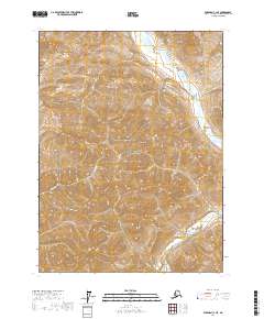
2017 · Wiseman C-1 NE
USGS Topo · 1:25,000
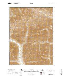
2017 · Wiseman D-1 NE
USGS Topo · 1:25,000
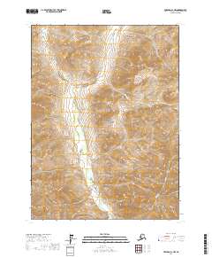
2017 · Wiseman C-1 NW
USGS Topo · 1:25,000