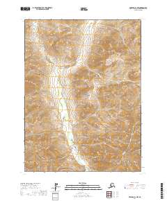
2017 Map of Wiseman C-1 NW
USGS Topo · Published 2017About this map
Gates of the Arctic National Park encompasses the majority of this landscape, where the Glacier River carves a deep valley through the Brooks Range. The terrain is defined by a dense network of high-elevation drainages and steep ridges that feed into the river system. To the north, the Chimney Fork and Roy Cr mark significant alpine valleys, while the southern reaches are drained by Dryas Cr and Sleepy Cr. This area remains largely untouched by development, reflecting the wild character of the Yukon-Koyukuk Census Area in the early 21st century. The map provides a precise view of the topography surrounding Hungry Cr, illustrating the complex drainage patterns that characterize this protected wilderness.
Find a feature on this map
13 named features on this map. Tap any name to fly to it.
Don’t see what you’re looking for? This feature index may not catch every label — zoom into the map to look around manually.
Map Details
Editions of this 2017 Wiseman C-1 NW Map
This is the sole edition of this map. No revisions or reprints were ever made.
Other maps of this area

1951 · Wiseman
USGS Topo · 1:250,000

1956 · Wiseman
USGS Topo · 1:250,000

1964 · Wiseman
USGS Topo · 1:250,000

1971 · Wiseman C-2
USGS Topo · 1:63,360
1971 · Wiseman C-1
USGS Topo · 1:63,360
1971 · Wiseman D-2
USGS Topo · 1:63,360
1971 · Wiseman D-1
USGS Topo · 1:63,360
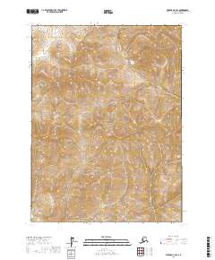
2017 · Wiseman C-2 SE
USGS Topo · 1:25,000
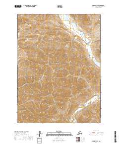
2017 · Wiseman C-1 NE
USGS Topo · 1:25,000
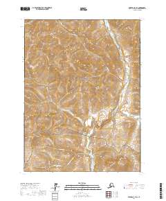
2017 · Wiseman C-1 SE
USGS Topo · 1:25,000