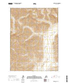
2017 Map of Wiseman D-2 SE
USGS Topo · Published 2017About this map
Gates Of The Arctic National Park encompasses the majority of this high-latitude terrain, where the Brooks Range landscape is defined by steep drainage systems and significant mountain crossings. The Clear River serves as the primary hydrological feature in the eastern section, fed by tributaries such as Pinnyanaktuk Cr. These watercourses carve through high-elevation passes that historically dictated movement through the Brooks Range, including Holmes Pass and Chimney Pass in the southeast. Smaller drainages like Pyramid Cr, Holmes Cr, and the aptly named Fishless Cr suggest the varied character of these alpine basins. The map illustrates a wilderness largely untouched by permanent settlement or road infrastructure, remaining a domain of natural drainage patterns and geological landforms.
Find a feature on this map
12 named features on this map. Tap any name to fly to it.
Don’t see what you’re looking for? This feature index may not catch every label — zoom into the map to look around manually.
Map Details
Editions of this 2017 Wiseman D-2 SE Map
This is the sole edition of this map. No revisions or reprints were ever made.
Other maps of this area

1951 · Wiseman
USGS Topo · 1:250,000

1956 · Wiseman
USGS Topo · 1:250,000

1964 · Wiseman
USGS Topo · 1:250,000

1971 · Wiseman C-2
USGS Topo · 1:63,360
1971 · Wiseman C-1
USGS Topo · 1:63,360
1971 · Wiseman D-2
USGS Topo · 1:63,360
1971 · Wiseman D-1
USGS Topo · 1:63,360
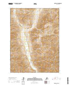
2017 · Wiseman C-1 NW
USGS Topo · 1:25,000
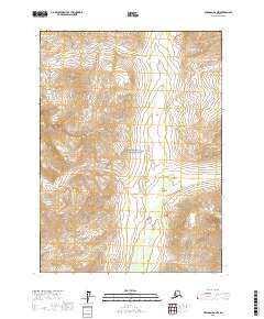
2017 · Wiseman D-2 NW
USGS Topo · 1:25,000
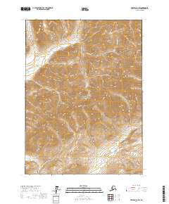
2017 · Wiseman D-1 SW
USGS Topo · 1:25,000