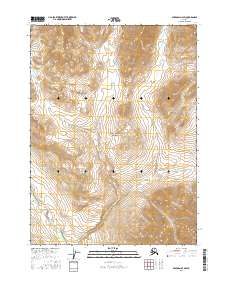
2016 Map of Wiseman D-3 SW
USGS Topo · Published 2016About this map
Gates of the Arctic National Park encompasses the vast majority of this 2016 survey, representing a landscape preserved in its natural state within the Brooks Range. The terrain is defined by the drainage patterns of the Philip Smith River, which cuts through the southwestern corner of the quadrangle. Meandering across the central and northern sections, Wolf Cr serves as the primary hydrological feature, drawing its course through several township boundaries including t35n r17w and t34n r17w. This map records a region of interior Alaska where human infrastructure is entirely absent, focusing instead on the complex topography and glacial-carved valleys that characterize the arctic wilderness. It serves as a precise record of the hydrography and elevation before further natural shifts occur in this protected ecosystem.
Find a feature on this map
7 named features on this map. Tap any name to fly to it.
Don’t see what you’re looking for? This feature index may not catch every label — zoom into the map to look around manually.
Map Details
Editions of this 2016 Wiseman D-3 SW Map
This is the sole edition of this map. No revisions or reprints were ever made.
Other maps of this area

1951 · Wiseman
USGS Topo · 1:250,000

1956 · Wiseman
USGS Topo · 1:250,000

1964 · Wiseman
USGS Topo · 1:250,000

1971 · Wiseman C-4
USGS Topo · 1:63,360
1971 · Wiseman D-4
USGS Topo · 1:63,360
1971 · Wiseman D-3
USGS Topo · 1:63,360
1971 · Wiseman C-3
USGS Topo · 1:63,360
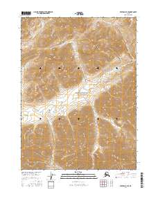
2016 · Wiseman D-3 SE
USGS Topo · 1:25,000
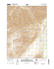
2016 · Wiseman C-3 NE
USGS Topo · 1:25,000
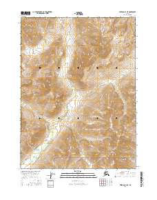
2016 · Wiseman C-4 NE
USGS Topo · 1:25,000