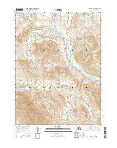
2016 Map of Wiseman D-6 SE
USGS Topo · Published 2016About this map
Gates of the Arctic National Park protects this stretch of wilderness in the Brooks Range, defined by the winding course of the Hunt Fork John River. The landscape is dominated by significant elevation changes, rising toward Sillyasheen Mtn in the southwestern portion of the sheet. Drainage patterns are established by Kevuk Creek, which feeds into the larger river system from the west. The map reflects a region almost entirely devoid of human infrastructure, focusing instead on the hydrography and high-altitude topography of the Yukon-Koyukuk region. Researchers can trace the precise flow of sub-arctic waterways and the complex contouring of unnamed peaks that surround the primary river valley.
Find a feature on this map
9 named features on this map. Tap any name to fly to it.
Don’t see what you’re looking for? This feature index may not catch every label — zoom into the map to look around manually.
Map Details
Editions of this 2016 Wiseman D-6 SE Map
This is the sole edition of this map. No revisions or reprints were ever made.
Other maps of this area

1951 · Wiseman
USGS Topo · 1:250,000

1956 · Wiseman
USGS Topo · 1:250,000

1964 · Wiseman
USGS Topo · 1:250,000

1971 · Wiseman C-5
USGS Topo · 1:63,360
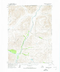
1971 · Wiseman D-5
USGS Topo · 1:63,360
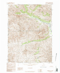
1986 · Wiseman C-6
USGS Topo · 1:63,360
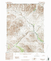
1986 · Wiseman D-6
USGS Topo · 1:63,360
2016 · Wiseman C-6 NW
USGS Topo · 1:25,000
2016 · Wiseman D-6 SW
USGS Topo · 1:25,000
2016 · Wiseman C-6 NE
USGS Topo · 1:25,000