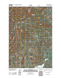
2011 Map of Wolf Peak
USGS Topo · Published 2011About this map
Wolf Peak and the surrounding high country of Clackamas County are defined by a network of drainage basins and evidence of past forest fires. Large areas of the landscape are marked as the Sherar Burn and Abbott Burn, showing the long-term impact of wildfire on the local geography. The hydrography of the region is centered on the Salmon River, which is fed by numerous tributaries including Linney Creek, Wolf Creek, and Dinger Creek.
Find a feature on this map
28 named features on this map. Tap any name to fly to it.
Don’t see what you’re looking for? This feature index may not catch every label — zoom into the map to look around manually.
Map Details
Editions of this 2011 Wolf Peak Map
This is the sole edition of this map. No revisions or reprints were ever made.
Other maps of this area

1924 · Mount Hood
USGS Topo · 1:125,000

1927 · Mount Hood
USGS Topo · 1:125,000

1953 · The Dalles
USGS Topo · 1:250,000

1956 · The Dalles
USGS Topo · 1:250,000

1956 · High Rock
USGS Topo · 1:62,500

1956 · Mt. Wilson
USGS Topo · 1:62,500

1957 · The Dalles
USGS Topo · 1:250,000
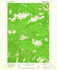
1962 · Government Camp
USGS Topo · 1:24,000
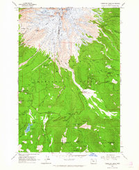
1962 · Timberline Lodge
USGS Topo · 1:24,000
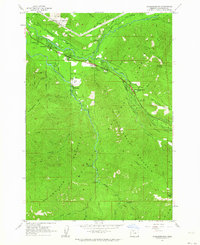
1962 · Rhododendron
USGS Topo · 1:24,000