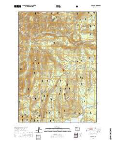
2020 Map of Wolf Peak
USGS Topo · Published 2020About this map
The Salmon Wild and Scenic River meanders across the northern portion of this high-altitude landscape within the Mount Hood National Forest. This modern 2020 survey documents a region defined by its complex hydrology and recreational infrastructure, including the Pacific Crest National Scenic Trail as it traverses the eastern ridge lines. Large water bodies like Timothy Lake and smaller features such as Little Crater Lake and Kinzell Lake highlight the area's glacial and volcanic character. High-elevation wetlands and openings such as Black Wolf Meadows and Jackpot Meadows are mapped alongside specialized seasonal routes like the Sherar Burn Road Nordic and the Timothy Lake/High Rocks Snowmo paths. The map provides a detailed view of the drainage systems for Salmon River and its many tributaries, including Anvil Cr and Fir Tree Cr.
Find a feature on this map
39 named features on this map. Tap any name to fly to it.
Don’t see what you’re looking for? This feature index may not catch every label — zoom into the map to look around manually.
Map Details
Editions of this 2020 Wolf Peak Map
This is the sole edition of this map. No revisions or reprints were ever made.
Other maps of this area

1924 · Mount Hood
USGS Topo · 1:125,000

1927 · Mount Hood
USGS Topo · 1:125,000

1953 · The Dalles
USGS Topo · 1:250,000

1956 · The Dalles
USGS Topo · 1:250,000

1956 · High Rock
USGS Topo · 1:62,500

1956 · Mt. Wilson
USGS Topo · 1:62,500

1957 · The Dalles
USGS Topo · 1:250,000
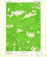
1962 · Government Camp
USGS Topo · 1:24,000
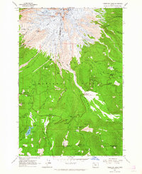
1962 · Timberline Lodge
USGS Topo · 1:24,000
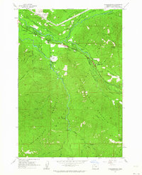
1962 · Rhododendron
USGS Topo · 1:24,000