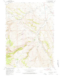
1954 Map of Wolf Point
USGS Topo · Published 1975About this map
The Little Popo Agie River carves through the central terrain of this Fremont County landscape, defining a network of deep canyons and draws. This mid-century survey reveals a ranching and agricultural economy dependent on sophisticated water management, evidenced by the Enterprise Ditch and various unnamed lateral ditches feeding the valley floor near Blue Hill. Rural life is anchored by local schoolhouses including Lower Willow Creek Sch, Upper Willow Creek Sch, and Madison Creek Sch. The map also illustrates the transition into the Shoshone National Forest at the western edge, where elevations climb toward Young Mountain and Wolf Point. Settlement patterns are sparse, represented by family operations like the Whitehead Ranch and the Wilkinson Sheep Sheds, while industrial activity is noted by an Oil Well (Aband) near the Red Canyon Rim.
Find a feature on this map
42 named features on this map. Tap any name to fly to it.
Don’t see what you’re looking for? This feature index may not catch every label — zoom into the map to look around manually.
Map Details
Editions of this 1954 Wolf Point Map
3 editions found
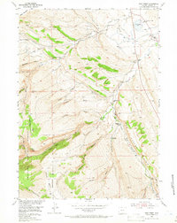
Other maps of this area

1952 · Lander SE
USGS Topo · 1:24,000

1952 · Lander
USGS Topo · 1:24,000

1953 · Gravel Spring
USGS Topo · 1:24,000

1953 · Fossil Hill
USGS Topo · 1:24,000

1953 · Louis Lake
USGS Topo · 1:24,000

1953 · Weiser Pass
USGS Topo · 1:24,000

1953 · Mount Arter SE
USGS Topo · 1:24,000

1954 · Wolf Point
USGS Topo · 1:24,000

1954 · Miners Delight
USGS Topo · 1:24,000

1955 · Lander
USGS Topo · 1:250,000