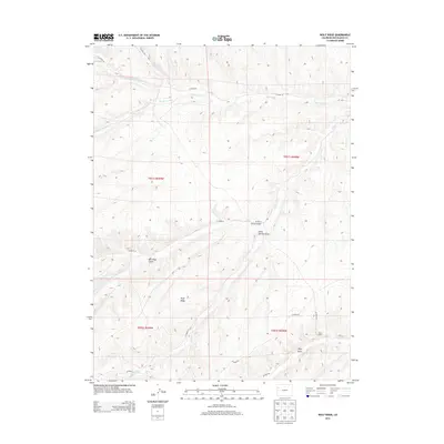
2013 Map of Wolf Ridge
USGS Topo · Published 2013About this map
Wolf Ridge dominates this portion of Rio Blanco County, where the high desert landscape is deeply incised by a network of drainage systems. The northern reaches are defined by the winding paths of Little Duck Creek, Big Duck Creek, and Duck Creek, which flow through the high plateau. To the south, the terrain becomes increasingly complex as it drops into Corral Gulch and Stake Springs Draw.
Find a feature on this map
22 named features on this map. Tap any name to fly to it.
Don’t see what you’re looking for? This feature index may not catch every label — zoom into the map to look around manually.
Map Details
Editions of this 2013 Wolf Ridge Map
This is the sole edition of this map. No revisions or reprints were ever made.
Other maps of this area

1907 · Rangely
USGS Topo · 1:125,000

1907 · White River
USGS Topo · 1:125,000

1910 · White River
USGS Topo · 1:125,000

1910 · Rangely
USGS Topo · 1:125,000

1952 · Wolf Ridge
USGS Topo · 1:24,000

1952 · Yankee Gulch
USGS Topo · 1:24,000

1952 · Rock School
USGS Topo · 1:24,000

1952 · Square S Ranch
USGS Topo · 1:24,000

1954 · Vernal
USGS Topo · 1:250,000

1956 · Grand Junction
USGS Topo · 1:250,000