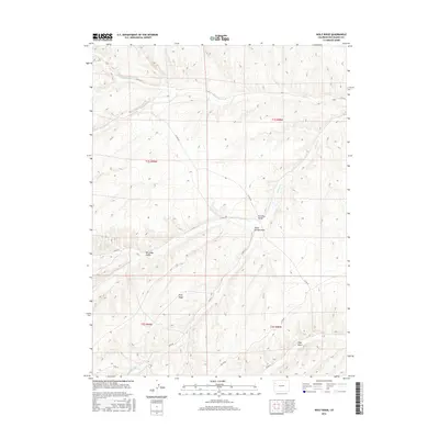
2016 Map of Wolf Ridge
USGS Topo · Published 2016About this map
Wolf Ridge dominates this Rio Blanco County landscape, serving as a high-altitude divide for several significant drainages in the Piceance Basin. The map details a complex network of seasonal watercourses and topographic features, where Duck Cr and its tributaries, Little Duck Cr and Big Duck Creek, flow through deeply incised valleys. These geological features have long shaped local land use, from early ranching to resource extraction. Evidence of this human connection to the land is visible in the named landmarks and the winding paths of county roads like Co RD 24 and Co RD 91. The presence of Stake Springs and the associated Stake Springs Draw highlights the critical importance of water sources in this high-desert environment, while varied terrain features like Corral Gulch, Box Elder Gulch, and Ryan Gulch reflect a traditional nomenclature tied to the natural world.
Find a feature on this map
21 named features on this map. Tap any name to fly to it.
Don’t see what you’re looking for? This feature index may not catch every label — zoom into the map to look around manually.
Map Details
Editions of this 2016 Wolf Ridge Map
This is the sole edition of this map. No revisions or reprints were ever made.
Other maps of this area

1907 · Rangely
USGS Topo · 1:125,000

1907 · White River
USGS Topo · 1:125,000

1910 · White River
USGS Topo · 1:125,000

1910 · Rangely
USGS Topo · 1:125,000

1952 · Wolf Ridge
USGS Topo · 1:24,000

1952 · Yankee Gulch
USGS Topo · 1:24,000

1952 · Rock School
USGS Topo · 1:24,000

1952 · Square S Ranch
USGS Topo · 1:24,000

1954 · Vernal
USGS Topo · 1:250,000

1956 · Grand Junction
USGS Topo · 1:250,000