2022 Map of Wonsevu
USGS Topo · Published 2022About this map
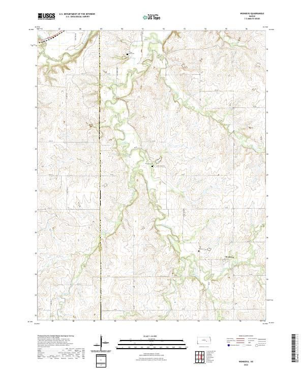
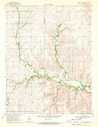
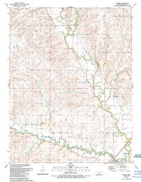
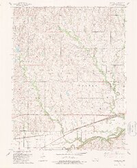
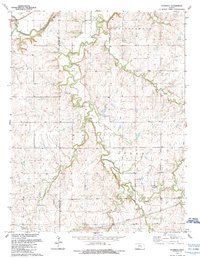
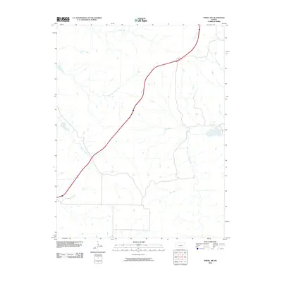
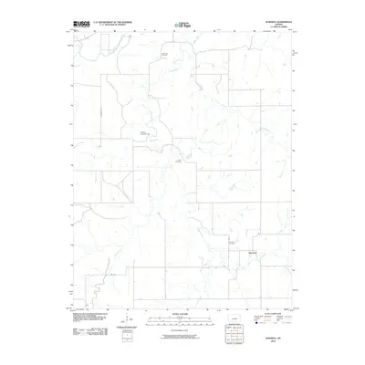
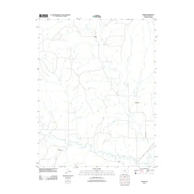
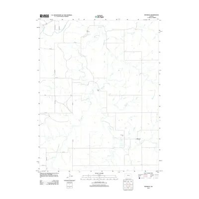
Wonsevu is the primary community focal point in this portion of the Flint Hills region, positioned near the southern edge of the survey area. The landscape is defined by the drainage systems of the Cottonwood River and Cedar Creek, which have carved numerous draws and ridges across the Marion and Chase county line. These physical features historically dictated the placement of pioneer-era landmarks, including the Wonsevu Cem, Griffith Cem, and Cedar Point Cem. The grid of section lines and rural routes like Bluestem Rd and Clover Rd overlay a terrain where smaller tributaries such as Turkey Cr, Bills Cr, and Middle Cr converge. This map reflects a transition between the open uplands and the protected creek valleys where local life centered around small settlements and family burial grounds.
Find a feature on this map
44 named features on this map. Tap any name to fly to it.
Don’t see what you’re looking for? This feature index may not catch every label — zoom into the map to look around manually.
Map Details
Editions of this 2022 Wonsevu Map
This is the sole edition of this map. No revisions or reprints were ever made.
Historical Maps of Wonsevu Through Time
45 maps found
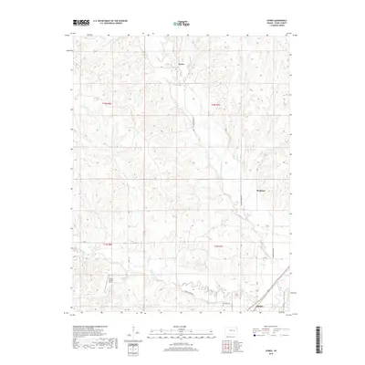
1957 Hymer
Chase County, KS
1957 Saffordville
Chase County, KS
1957 Wonsevu
Chase County, KS
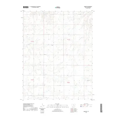
1970 Lincolnville NE
Chase County, KS
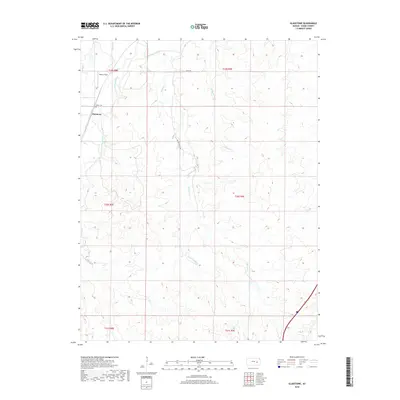
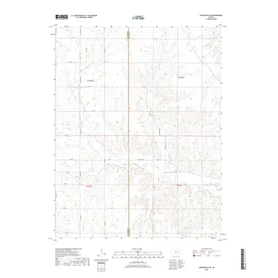
1973 Gladstone
Chase County, KS
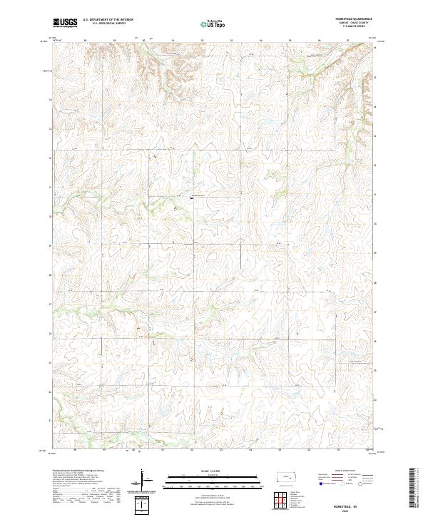
1973 Homestead
Chase County, KS
1973 Thrall NW
Chase County, KS
1989 Hymer
Chase County, KS
1989 Saffordville
Chase County, KS
1989 Wonsevu
Chase County, KS
2009 Lincolnville NE
Chase County, KS
2010 Gladstone
Chase County, KS
2010 Homestead
Chase County, KS
2010 Hymer
Chase County, KS
2010 Saffordville
Chase County, KS
2010 Thrall NW
Chase County, KS
2010 Wonsevu
Chase County, KS
2012 Gladstone
Chase County, KS
2012 Homestead
Chase County, KS
2012 Hymer
Chase County, KS
2012 Lincolnville NE
Chase County, KS
2012 Saffordville
Chase County, KS
2012 Thrall NW
Chase County, KS
2012 Wonsevu
Chase County, KS
2015 Gladstone
Chase County, KS
2015 Homestead
Chase County, KS
2015 Hymer
Chase County, KS
2015 Lincolnville NE
Chase County, KS
2015 Saffordville
Chase County, KS
2015 Thrall NW
Chase County, KS
2015 Wonsevu
Chase County, KS
2018 Gladstone
Chase County, KS
2018 Homestead
Chase County, KS
2018 Hymer
Chase County, KS
2018 Lincolnville NE
Chase County, KS
2018 Saffordville
Chase County, KS
2018 Thrall NW
Chase County, KS
2018 Wonsevu
Chase County, KS
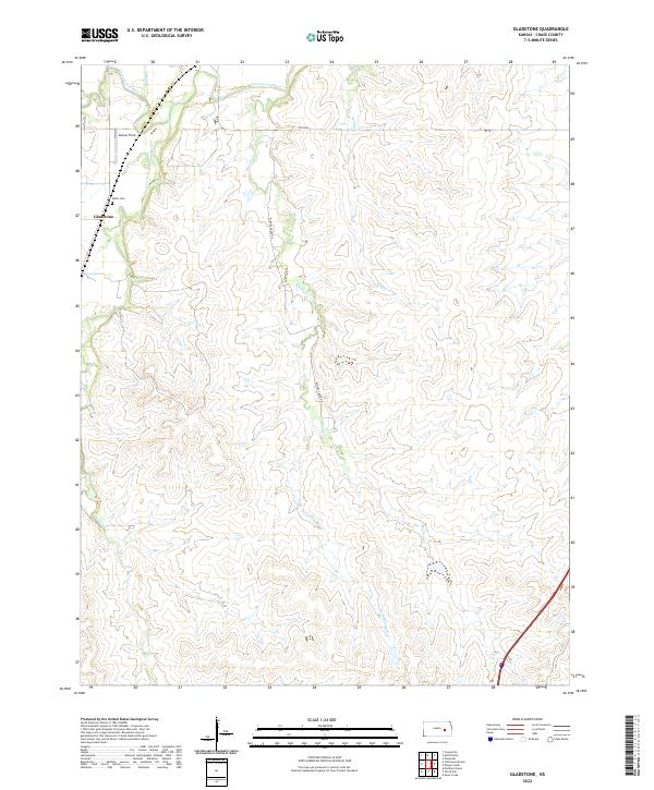
2022 Gladstone
Chase County, KS
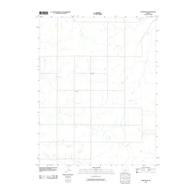
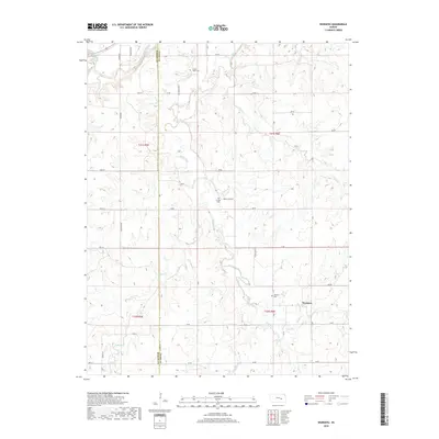
2022 Homestead
Chase County, KS
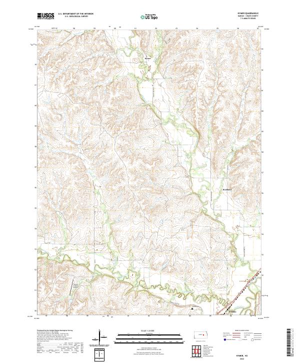
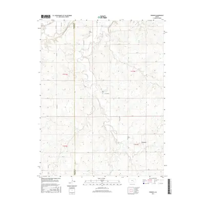
2022 Hymer
Chase County, KS
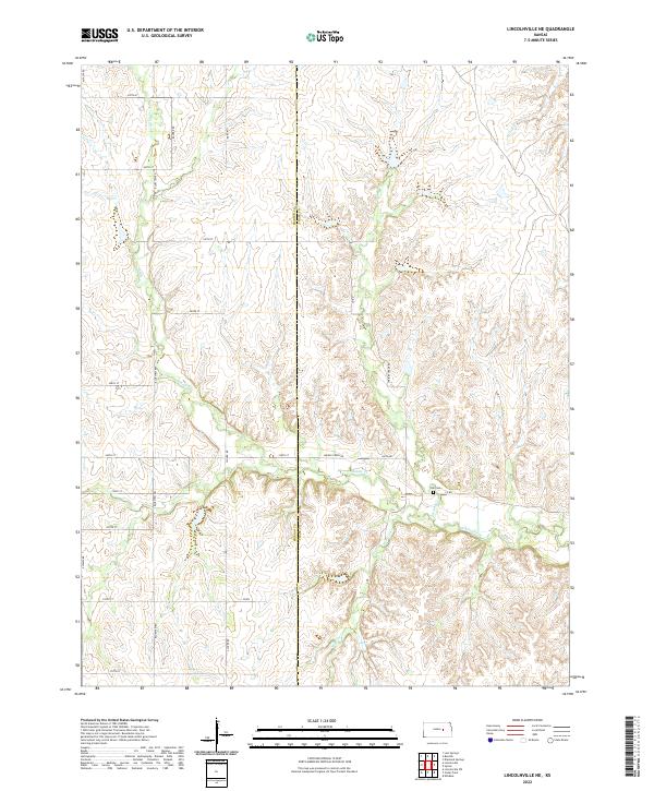
2022 Lincolnville NE
Chase County, KS
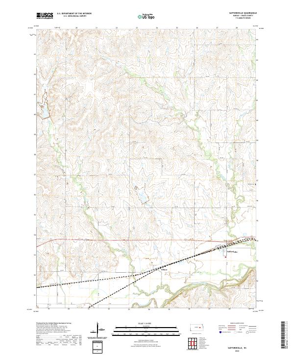
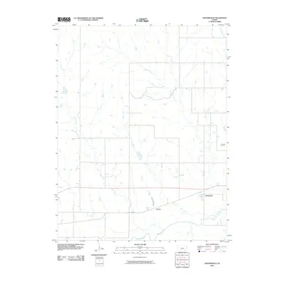
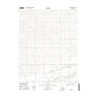
2022 Saffordville
Chase County, KS
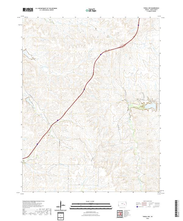
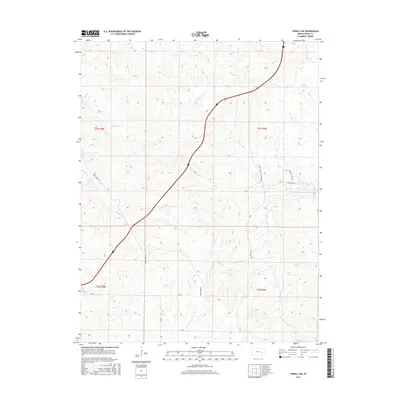
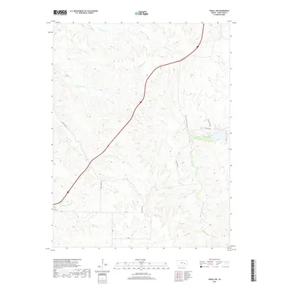
2022 Thrall NW
Chase County, KS
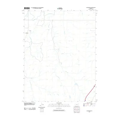
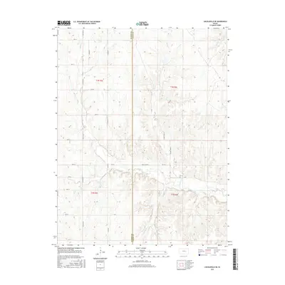
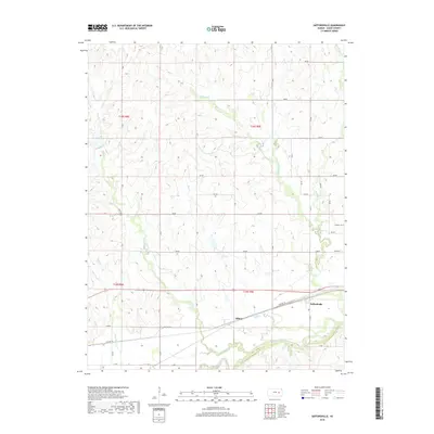
2022 Wonsevu
Chase County, KS