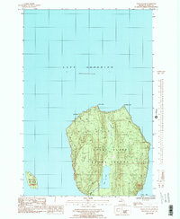
1985 Map of Wood Island
USGS Topo · Published 1985About this map
Grand Island and the smaller Wood Island dominate this portion of the Alger County shoreline in the mid-1980s. The landscape is characterized by its interior hydrology, most notably Echo Lake and its outlet, Echo Lake Cr, which drains toward the southern reaches of the island. The northern coastline is defined by prominent headlands including North Point, Northeast Point, and Gull Point, the latter of which is fed by Gull Point Creek. To the east, the protected waters of Trout Bay offer a contrast to the open expanse of Lake Superior. The interior of the island shows a detailed network of drainage such as North Creek, illustrating the natural topography of these Lake Superior landmasses before extensive modern development altered the forest and coastal interfaces.
Find a feature on this map
13 named features on this map. Tap any name to fly to it.
Don’t see what you’re looking for? This feature index may not catch every label — zoom into the map to look around manually.
Map Details
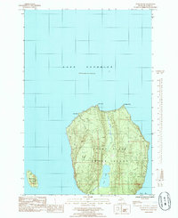
Editions of this 1985 Wood Island Map
2 editions found
Other maps of this area

1958 · Munising
USGS Topo · 1:62,500

1958 · Au Train
USGS Topo · 1:62,500

1958 · Wood Island
USGS Topo · 1:62,500

1958 · Marquette
USGS Topo · 1:250,000

1960 · Marquette
USGS Topo · 1:250,000

1961 · Marquette
USGS Topo · 1:250,000

1968 · Marquette
USGS Topo · 1:250,000

1983 · Munising
USGS Topo · 1:100,000
1984 · Au Sable Point
USGS Topo · 1:100,000
1984 · Wood Island SE
USGS Topo · 1:24,000