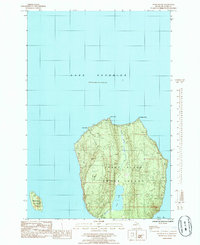
1985 Map of Wood Island
USGS Topo · Published 1985About this map
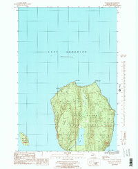
Grand Island dominates this mid-1980s coastal survey, sitting as a massive geographic presence within the waters of Lake Superior. The interior of the island reveals a complex network of elevations and seasonal drainages, including the prominent Echo Lake and its outlet, Echo Lake Creek. Along the northern shores, the landscape is defined by sharp landforms like North Point, Northeast Point, and Gull Point, each contributing to the irregular, wind-swept coastline of the Upper Peninsula's offshore territory.
Find a feature on this map
15 named features on this map. Tap any name to fly to it.
Don’t see what you’re looking for? This feature index may not catch every label — zoom into the map to look around manually.
Map Details
Editions of this 1985 Wood Island Map
2 editions found
Other maps of this area

1958 · Munising
USGS Topo · 1:62,500

1958 · Au Train
USGS Topo · 1:62,500

1958 · Wood Island
USGS Topo · 1:62,500

1958 · Marquette
USGS Topo · 1:250,000

1960 · Marquette
USGS Topo · 1:250,000

1961 · Marquette
USGS Topo · 1:250,000

1968 · Marquette
USGS Topo · 1:250,000

1983 · Munising
USGS Topo · 1:100,000
1984 · Au Sable Point
USGS Topo · 1:100,000
1984 · Wood Island SE
USGS Topo · 1:24,000