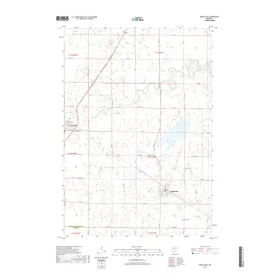
2019 Map of Wood Lake
USGS Topo · Published 2019About this map
Wood Lake and the winding course of the Yellow Medicine River dominate this pocket of southwestern Minnesota. The landscape is structured by a precise grid of rural roads, including Co Hwy 18 and 180th Ave, which connect the primary settlements of Hanley Falls, Lorne, and the namesake town of Wood Lake. Local history is anchored by several long-standing burial sites, including East Cem, Lutheran Cem, and Methodist Cem, each serving as a marker for the area's early congregations.
Find a feature on this map
32 named features on this map. Tap any name to fly to it.
Don’t see what you’re looking for? This feature index may not catch every label — zoom into the map to look around manually.
Map Details
Editions of this 2019 Wood Lake Map
This is the sole edition of this map. No revisions or reprints were ever made.
Other maps of this area

1953 · New Ulm
USGS Topo · 1:250,000

1957 · New Ulm
USGS Topo · 1:250,000

1958 · New Ulm
USGS Topo · 1:250,000

1962 · Wood Lake NW
USGS Topo · 1:24,000

1962 · Cottonwood
USGS Topo · 1:24,000

1962 · School Grove Lake
USGS Topo · 1:24,000

1962 · Wood Lake
USGS Topo · 1:24,000

1965 · Echo
USGS Topo · 1:24,000

1965 · Lone Tree Lake
USGS Topo · 1:24,000

1965 · Hazel Run
USGS Topo · 1:24,000