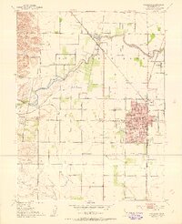
1952 Map of Woodland
USGS Topo · Published 1953About this map
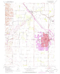
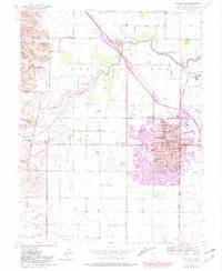
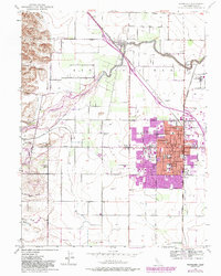
Woodland anchors this 1952 survey of the Sacramento Valley, appearing as a thriving regional center defined by its grid of named streets such as Main St and Sacramento St. The town is well-supported by institutional landmarks including the Courthouse, City Hall, and educational centers like Holy Rosary Academy and the High Sch. This era captures a landscape shaped by the Southern Pacific and Sacramento Northern railroads, which facilitated the movement of goods from outlying areas like Sugarfield and Mill Spur. Beyond the town limits, the terrain shifts to the orchards and fields of the Rio Jesus Maria grant. The winding course of Cache Creek and the rising Dunnigan Hills to the northwest contrast with the organized irrigation of the valley floor, where schools like Willow Oak School and the Plainfield Union Sch served the rural population.
Find a feature on this map
37 named features on this map. Tap any name to fly to it.
Don’t see what you’re looking for? This feature index may not catch every label — zoom into the map to look around manually.
Map Details
Editions of this 1952 Woodland Map
7 editions found
Other maps of this area

1907 · Dunnigan
USGS Topo · 1:62,500

1907 · Woodland
USGS Topo · 1:62,500

1907 · Davisville
USGS Topo · 1:62,500

1910 · Knights Landing
USGS Topo · 1:31,680

1915 · Yolo
USGS Topo · 1:31,680

1915 · Swingle
USGS Topo · 1:31,680

1915 · Ronda
USGS Topo · 1:31,680

1915 · Merritt
USGS Topo · 1:31,680

1916 · Grays Bend
USGS Topo · 1:31,680

1916 · Jacobs Corner
USGS Topo · 1:31,680