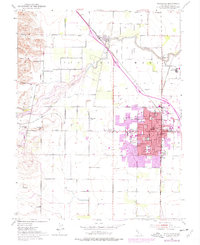
1952 Map of Woodland
USGS Topo · Published 1977About this map
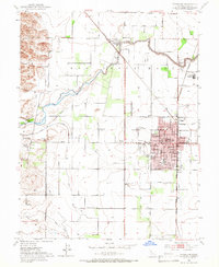
Woodland's urban core and surrounding agricultural landscape are meticulously documented in this mid-century survey, which incorporates significant revisions from 1968 and 1975. The settlement pattern reveals the expansion of the city around the historic Courthouse and City Hall, while outlying areas like Browns Corner and the rail-stop at Sugarfield maintain their rural character. The influence of the Southern Pacific railroad is evident in the development of industrial sites like Mill Spur and the various Gravel Pits that follow the course of Cache Creek.
Find a feature on this map
41 named features on this map. Tap any name to fly to it.
Don’t see what you’re looking for? This feature index may not catch every label — zoom into the map to look around manually.
Map Details
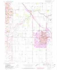
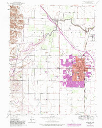
Editions of this 1952 Woodland Map
7 editions found
Other maps of this area

1907 · Dunnigan
USGS Topo · 1:62,500

1907 · Woodland
USGS Topo · 1:62,500

1907 · Davisville
USGS Topo · 1:62,500

1910 · Knights Landing
USGS Topo · 1:31,680

1915 · Yolo
USGS Topo · 1:31,680

1915 · Swingle
USGS Topo · 1:31,680

1915 · Ronda
USGS Topo · 1:31,680

1915 · Merritt
USGS Topo · 1:31,680

1916 · Grays Bend
USGS Topo · 1:31,680

1916 · Jacobs Corner
USGS Topo · 1:31,680