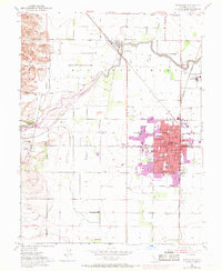
1952 Map of Woodland
USGS Topo · Published 1959About this map
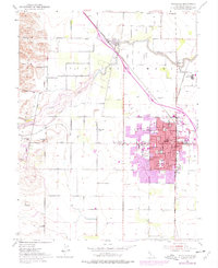
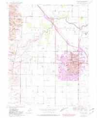
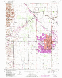
Woodland's urban core and the agricultural lands of the Sacramento Valley are meticulously detailed in this mid-century study, showcasing the city's expansion during the late 1960s via purple revision tints. The map centers on the historical grid of the county seat, where the Courthouse, City Hall, and numerous neighborhood schools like Dingle Sch and Beamer Sch anchor the community. To the north, the winding course of Cache Creek defines the landscape, skirted by the Southern Pacific railroad lines that served local industry at Sugarfield and the Mill Spur.
Find a feature on this map
40 named features on this map. Tap any name to fly to it.
Don’t see what you’re looking for? This feature index may not catch every label — zoom into the map to look around manually.
Map Details
Editions of this 1952 Woodland Map
7 editions found
Other maps of this area

1907 · Dunnigan
USGS Topo · 1:62,500

1907 · Woodland
USGS Topo · 1:62,500

1907 · Davisville
USGS Topo · 1:62,500

1910 · Knights Landing
USGS Topo · 1:31,680

1915 · Yolo
USGS Topo · 1:31,680

1915 · Swingle
USGS Topo · 1:31,680

1915 · Ronda
USGS Topo · 1:31,680

1915 · Merritt
USGS Topo · 1:31,680

1916 · Grays Bend
USGS Topo · 1:31,680

1916 · Jacobs Corner
USGS Topo · 1:31,680