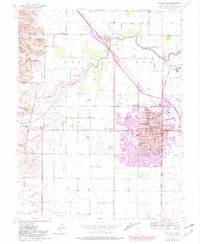
1952 Map of Woodland
USGS Topo · Published 1981About this map
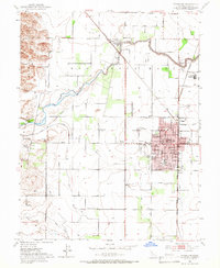
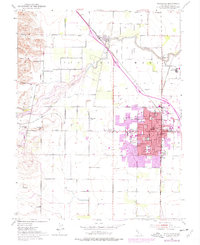
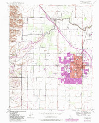
The agricultural hub of Woodland is the focal point of this mid-century survey, showing the town's expansion toward Gibson Rd and Farmers Central. The landscape reflects a transition from rural homesteads to a structured municipal center, with institutional landmarks like Holy Rosary Academy, the Courthouse, and the Yolo County General Hospital anchoring the city plan. To the northwest, the Dunnigan Hills rise above the alluvial plain, while Cache Creek winds eastward, flanked by levees and a Gaging Sta. The Southern Pacific railroad network remains a critical infrastructure piece, connecting the main town to outlying points like Sugarfield and the settlement of Yolo. Researchers will find a mix of older rural elements, such as the Laugenour School and Willow Oak School, alongside modernizing features like the Woodland Watts Airport and the Yolo Fliers Club and Golf Course.
Find a feature on this map
35 named features on this map. Tap any name to fly to it.
Don’t see what you’re looking for? This feature index may not catch every label — zoom into the map to look around manually.
Map Details
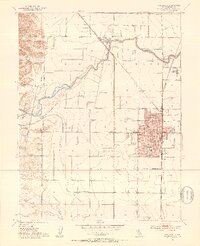
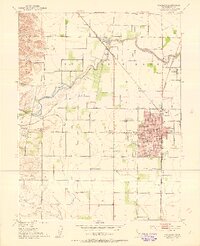
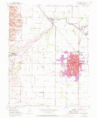
Editions of this 1952 Woodland Map
7 editions found
Other maps of this area

1907 · Dunnigan
USGS Topo · 1:62,500

1907 · Woodland
USGS Topo · 1:62,500

1907 · Davisville
USGS Topo · 1:62,500

1910 · Knights Landing
USGS Topo · 1:31,680

1915 · Yolo
USGS Topo · 1:31,680

1915 · Swingle
USGS Topo · 1:31,680

1915 · Ronda
USGS Topo · 1:31,680

1915 · Merritt
USGS Topo · 1:31,680

1916 · Grays Bend
USGS Topo · 1:31,680

1916 · Jacobs Corner
USGS Topo · 1:31,680