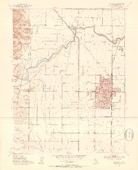
1952 Map of Woodland
USGS Topo · Published 1953About this map
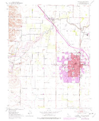
The city of Woodland serves as the focal point of this 1952 topographic study, showing a concentrated grid of streets and key civic institutions including the Courthouse, City Hall, and the Yolo County General Hospital. Education and religious life are well-represented by the Holy Rosary Academy, St Paul Sch, and High Sch. To the north, the settlement of Yolo sits along the winding path of Cache Creek, highlighting the importance of water management in this agricultural landscape.
Find a feature on this map
43 named features on this map. Tap any name to fly to it.
Don’t see what you’re looking for? This feature index may not catch every label — zoom into the map to look around manually.
Map Details
Editions of this 1952 Woodland Map
7 editions found
Other maps of this area

1907 · Dunnigan
USGS Topo · 1:62,500

1907 · Woodland
USGS Topo · 1:62,500

1907 · Davisville
USGS Topo · 1:62,500

1910 · Knights Landing
USGS Topo · 1:31,680

1915 · Yolo
USGS Topo · 1:31,680

1915 · Swingle
USGS Topo · 1:31,680

1915 · Ronda
USGS Topo · 1:31,680

1915 · Merritt
USGS Topo · 1:31,680

1916 · Grays Bend
USGS Topo · 1:31,680

1916 · Jacobs Corner
USGS Topo · 1:31,680