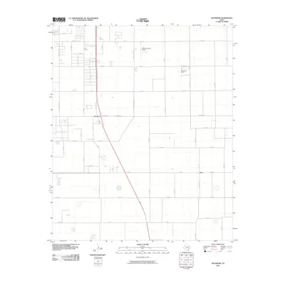
2010 Map of Woodrow
USGS Topo · Published 2010About this map
Woodrow and Union anchor this high-plains landscape south of Lubbock, showing a transition from residential developments to structured agricultural tracts. The map details a strict grid of section roads and county routes, such as University Ave and Martin L King Blvd, that define the region's layout. Aerial activity is prominent in the northern sector, marked by Town and Country Airpark and the private BartosFarm Airport. The presence of State Spur 493 provides a key transportation link through the heart of the area. This survey documents the rural character of the Lubbock County outskirts, where large-scale farming plots are intersected by local corridors like Woodrow Rd and Union Rd, illustrating the spatial organization of West Texas at the end of the decade.
Find a feature on this map
42 named features on this map. Tap any name to fly to it.
Don’t see what you’re looking for? This feature index may not catch every label — zoom into the map to look around manually.
Map Details
Editions of this 2010 Woodrow Map
This is the sole edition of this map. No revisions or reprints were ever made.
Other maps of this area

1954 · Lubbock
USGS Topo · 1:250,000

1957 · Lubbock East
USGS Topo · 1:24,000

1957 · New Home
USGS Topo · 1:62,500

1957 · Lubbock West
USGS Topo · 1:24,000

1957 · Lubbock
USGS Topo · 1:62,500

1965 · Slaton
USGS Topo · 1:24,000

1965 · Buffalo Springs Lake
USGS Topo · 1:24,000

1965 · Wilson
USGS Topo · 1:24,000

1976 · New Home NW
USGS Topo · 1:24,000

1976 · New Home NE
USGS Topo · 1:24,000