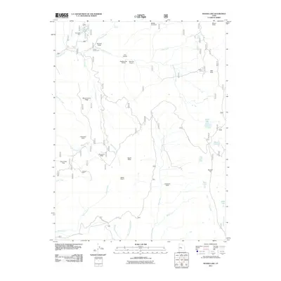
2011 Map of Woods Lake
USGS Topo · Published 2011About this map
Whitlock Cabin sits at the headwaters of Clear Creek in this 2011 survey of the high plateau country of central Utah. This high-altitude landscape is defined by its drainages, where Beaver Creek and Salina Creek carve through prominent ridges and valleys. The presence of the Pinchot Campground and the Skyline Dr corridor suggests a region focused on seasonal access and land management. The water network is particularly detailed, showing Lake Twin regulated by the Twin Lake Dam in the north, while to the east, a cluster of high-country waters including Island Lake, Blue Lake, and Slide Lake dot the terrain near Mount Baldy. Notable topographic markers like Marys Nipple and Porcupine Knoll provide distinctive landmarks for navigating the complex system of canyons and flats, such as Baseball Flat and Step Flats.
Find a feature on this map
41 named features on this map. Tap any name to fly to it.
Don’t see what you’re looking for? This feature index may not catch every label — zoom into the map to look around manually.
Map Details
Editions of this 2011 Woods Lake Map
This is the sole edition of this map. No revisions or reprints were ever made.
Other maps of this area

1885 · Manti
USGS Topo · 1:250,000

1885 · Fish Lake
USGS Topo · 1:250,000

1895 · Manti
USGS Topo · 1:250,000

1896 · Fish Lake
USGS Topo · 1:250,000

1922 · Wasatch
USGS Topo · 1:31,680

1925 · Acord Lakes
USGS Topo · 1:62,500

1956 · Salina
USGS Topo · 1:250,000

1956 · Price
USGS Topo · 1:250,000

1960 · Price
USGS Topo · 1:250,000

1960 · Salina
USGS Topo · 1:250,000