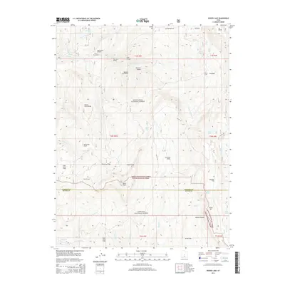
2014 Map of Woods Lake
USGS Topo · Published 2014About this map
Manti-La Sal National Forest and Fishlake National Forest converge on this high-altitude landscape of the Wasatch Plateau. The topography is defined by the sharp transition between deep drainage systems like Twelvemile Canyon and broad, elevated clearings such as Baseball Flat and Julius Pasture. Historically significant for recreation and resource management, the area includes sites like Pinchot Campground and the rustic Whitlock Cabin. Water is abundant across the high country, with numerous alpine bodies including Woods Lake, Island Lake, and Lake Twin tucked into the folds of the ridges. Transportation across these heights is dominated by the winding route of Skyline Dr, which provides access to notable landmarks such as Marys Nipple and Porcupine Knoll along the Sanpete and Sevier county line.
Find a feature on this map
49 named features on this map. Tap any name to fly to it.
Don’t see what you’re looking for? This feature index may not catch every label — zoom into the map to look around manually.
Map Details
Editions of this 2014 Woods Lake Map
This is the sole edition of this map. No revisions or reprints were ever made.
Other maps of this area

1885 · Manti
USGS Topo · 1:250,000

1885 · Fish Lake
USGS Topo · 1:250,000

1895 · Manti
USGS Topo · 1:250,000

1896 · Fish Lake
USGS Topo · 1:250,000

1922 · Wasatch
USGS Topo · 1:31,680

1925 · Acord Lakes
USGS Topo · 1:62,500

1956 · Salina
USGS Topo · 1:250,000

1956 · Price
USGS Topo · 1:250,000

1960 · Price
USGS Topo · 1:250,000

1960 · Salina
USGS Topo · 1:250,000