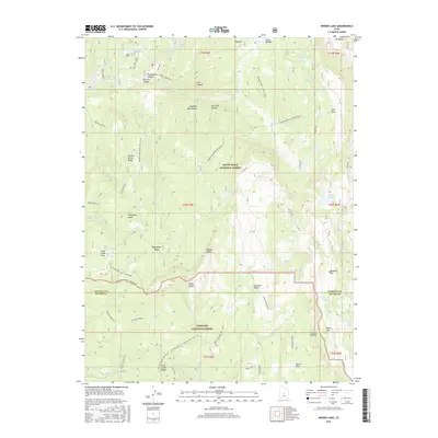
2017 Map of Woods Lake
USGS Topo · Published 2017About this map
The Wasatch Plateau forms the backbone of this high-elevation landscape, where the boundaries of Manti-LaSal National Forest and Fishlake National Forest meet. This terrain is defined by its series of distinct flats and peaks, including Dandelion Flat, Baseball Flat, and the uniquely named Marys Nipple. The network of alpine waters is extensive, featuring Woods Lake, Island Lake, and Three Lakes, alongside drainages like Twelvemile Cr and Salina Cr.
Find a feature on this map
68 named features on this map. Tap any name to fly to it.
Don’t see what you’re looking for? This feature index may not catch every label — zoom into the map to look around manually.
Map Details
Editions of this 2017 Woods Lake Map
This is the sole edition of this map. No revisions or reprints were ever made.
Other maps of this area

1885 · Manti
USGS Topo · 1:250,000

1885 · Fish Lake
USGS Topo · 1:250,000

1895 · Manti
USGS Topo · 1:250,000

1896 · Fish Lake
USGS Topo · 1:250,000

1922 · Wasatch
USGS Topo · 1:31,680

1925 · Acord Lakes
USGS Topo · 1:62,500

1956 · Salina
USGS Topo · 1:250,000

1956 · Price
USGS Topo · 1:250,000

1960 · Price
USGS Topo · 1:250,000

1960 · Salina
USGS Topo · 1:250,000