Loading...
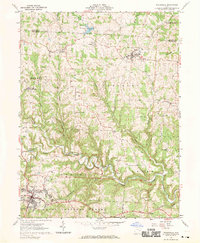
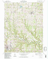
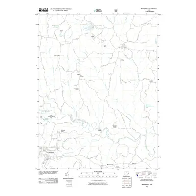
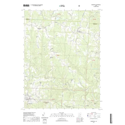
Loading map...1961 Map of Woodsfield
USGS Topo · Published 1970About this map
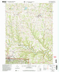
The rolling hills of Monroe County, Ohio, are captured here in 1961, revealing a landscape defined by small ridgetop settlements and deep stream valleys. Woodsfield serves as a primary hub, adjacent to the local Fairgrounds and the Woodsfield Reservoir. The survey highlights a dispersed network of rural communities such as Jerusalem, Beallsville, and Ozark, many anchored by historic churches like Immaculate Conception Ch and Asbury Chapel Ch.
Find a feature on this map
52 named features on this map. Tap any name to fly to it.
Don’t see what you’re looking for? This feature index may not catch every label — zoom into the map to look around manually.
Map Details
Date Portrayed1961
Date Published1970
PublisherU.S. Geological Survey
Map TypeTopographic
Scale1:24,000
Physical Dimensions22.1 x 26.9 inches
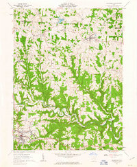
Editions of this 1961 Woodsfield Map
3 editions found
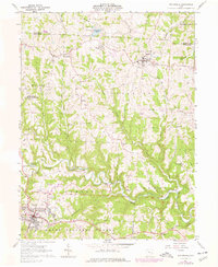
Historical Maps of Woodsfield Through Time
9 maps found

Featured Locations
Source Details
SourceU.S. Geological Survey
CopyrightPublic Domain