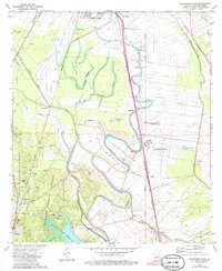
1972 Map of Woodworth East
USGS Topo · Published 1986About this map
Alexander State Forest and the Kisatchie National Forest dominate the southwestern quadrant of this 1970s landscape, providing a sharp contrast to the geometric agricultural patterns of the Red River valley to the east. The terrain transitions from the wooded hills near Woodworth and the Indian Creek Reservoir to a complex network of bayous and sloughs, including Bayou Boeuf and Bayou Robert. This region reflects a deeply interconnected transportation and agricultural history, where the Missouri Pacific and Texas and Pacific railroads parallel the natural waterways that defined early settlement.
Find a feature on this map
53 named features on this map. Tap any name to fly to it.
Don’t see what you’re looking for? This feature index may not catch every label — zoom into the map to look around manually.
Map Details
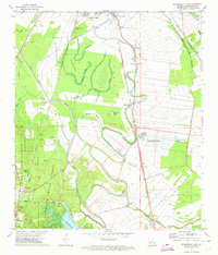
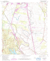
Editions of this 1972 Woodworth East Map
3 editions found
Other maps of this area

1935 · Lecompte
USGS Topo · 1:62,500

1941 · Alexandria
USGS Topo · 1:62,500

1941 · Boyce
USGS Topo · 1:62,500

1945 · Boyce SE
USGS Topo · 1:31,680

1949 · Boyce SE
USGS Topo · 1:31,680

1953 · Alexandria
USGS Topo · 1:250,000

1955 · Alexandria
USGS Topo · 1:250,000

1956 · Forest Hill
USGS Topo · 1:62,500

1956 · Boyce
USGS Topo · 1:62,500

1957 · Alexandria
USGS Topo · 1:62,500