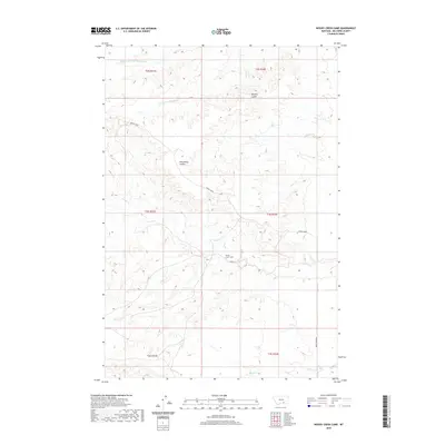
2020 Map of Woody Creek Camp
USGS Topo · Published 2020About this map
Woody Creek Camp serves as a primary reference point in this corner of Big Horn County, situated within a landscape defined by deep drainage systems and high plateaus. The topography is shaped by the intricate networks of Woody Cr and the northern reaches of Middle Fork Two Leggins Cr, which carve through the terrain to create distinctive features like Whiskey Coulee and Wild Horse Coulee.
Find a feature on this map
16 named features on this map. Tap any name to fly to it.
Don’t see what you’re looking for? This feature index may not catch every label — zoom into the map to look around manually.
Map Details
Editions of this 2020 Woody Creek Camp Map
This is the sole edition of this map. No revisions or reprints were ever made.
Other maps of this area

1894 · St. Xavier
USGS Topo · 1:125,000

1894 · Fort Custer
USGS Topo · 1:125,000

1901 · St. Xavier
USGS Topo · 1:125,000

1915 · Spenceville
USGS Topo · 1:31,680

1954 · Hardin
USGS Topo · 1:250,000

1957 · Hardin
USGS Topo · 1:250,000

1958 · Hardin
USGS Topo · 1:250,000

1960 · St Xavier
USGS Topo · 1:24,000

1960 · Walker Hill
USGS Topo · 1:24,000

1960 · Hardin SW
USGS Topo · 1:24,000