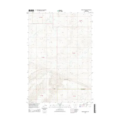
2014 Map of Woody Mountain
USGS Topo · Published 2014About this map
Woody Mtn and the prominent Wild Horse Ridge dominate the southern portion of this high plains landscape at the county line between Yellowstone County and Big Horn County. The terrain is characterized by a complex drainage network where Big Woody Creek, Little Woody Creek, and the West Fork of Big Woody Creek converge as they move through the hills. In the north, East Fork Pryor Creek and Flat Creek carve through the land, while Barnes Road provides one of the few named navigational routes in this sparsely settled region. This 2014 survey illustrates the intricate topography of the Montana backcountry, highlighting the way water systems like Fly Creek and Woody Creek have defined the natural boundaries and contours of the area.
Find a feature on this map
17 named features on this map. Tap any name to fly to it.
Don’t see what you’re looking for? This feature index may not catch every label — zoom into the map to look around manually.
Map Details
Editions of this 2014 Woody Mountain Map
This is the sole edition of this map. No revisions or reprints were ever made.
Other maps of this area

1893 · Huntley
USGS Topo · 1:125,000

1954 · Billings
USGS Topo · 1:250,000

1957 · Billings
USGS Topo · 1:250,000

1958 · Billings
USGS Topo · 1:250,000

1967 · Soda Springs
USGS Topo · 1:24,000
1967 · Chilkoot Coulee
USGS Topo · 1:24,000
1967 · Badbaby Coulee
USGS Topo · 1:24,000
1968 · Bear Coulee
USGS Topo · 1:24,000
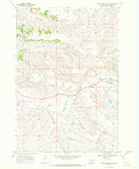
1969 · Woody Mountain NW
USGS Topo · 1:24,000
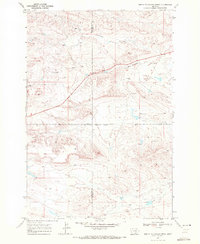
1969 · North Telegraph Creek
USGS Topo · 1:24,000