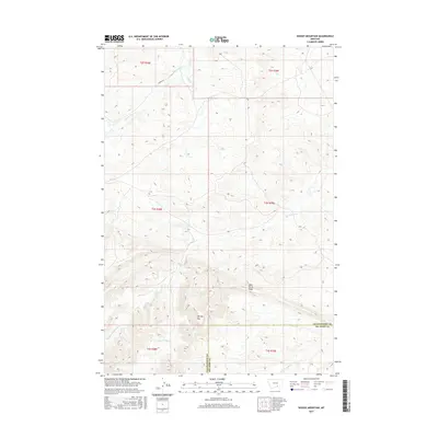
2017 Map of Woody Mountain
USGS Topo · Published 2017About this map
Woody Mtn and the prominent Wild Horse Ridge dominate this section of the Montana landscape, marking a topographically varied divide between Yellowstone Co and Big Horn Co. The region is defined by an intricate network of drainages, including the headwaters of Big Woody Cr, Little Woody Cr, and the W Fork Big Woody Cr. To the north, the terrain shifts toward the E Fork Pryor Cr and Flat Cr basins. Human footprint is sparse in this 2017 survey, represented primarily by Barnes Rd and the geometric precision of the Public Land Survey System. The lack of major settlements highlights the rural, undeveloped character of this borderland area, where natural watercourses and ridges remain the primary landmarks for local geography.
Find a feature on this map
15 named features on this map. Tap any name to fly to it.
Don’t see what you’re looking for? This feature index may not catch every label — zoom into the map to look around manually.
Map Details
Editions of this 2017 Woody Mountain Map
This is the sole edition of this map. No revisions or reprints were ever made.
Other maps of this area

1893 · Huntley
USGS Topo · 1:125,000

1954 · Billings
USGS Topo · 1:250,000

1957 · Billings
USGS Topo · 1:250,000

1958 · Billings
USGS Topo · 1:250,000

1967 · Soda Springs
USGS Topo · 1:24,000
1967 · Chilkoot Coulee
USGS Topo · 1:24,000
1967 · Badbaby Coulee
USGS Topo · 1:24,000
1968 · Bear Coulee
USGS Topo · 1:24,000
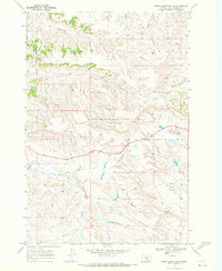
1969 · Woody Mountain NW
USGS Topo · 1:24,000
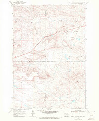
1969 · North Telegraph Creek
USGS Topo · 1:24,000