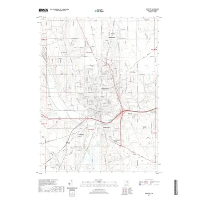
2019 Map of Wooster
USGS Topo · Published 2019About this map
The Wayne County Courthouse stands as a central landmark in Wooster, anchors this 2019 survey of a major Ohio educational and agricultural hub. The city's landscape is defined by the prominent campus of The College of Wooster and the expansive facilities of the Ohio State University Agricultural Technical Institute to the south. Historically significant transport routes including Old Lincoln Way W and E Lincoln Way intersect the urban center, reflecting the area's long-standing role as a crossroads for Wayne County.
Find a feature on this map
77 named features on this map. Tap any name to fly to it.
Don’t see what you’re looking for? This feature index may not catch every label — zoom into the map to look around manually.
Map Details
Editions of this 2019 Wooster Map
This is the sole edition of this map. No revisions or reprints were ever made.
Other maps of this area

1901 · Wooster
USGS Topo · 1:62,500

1903 · Wooster
USGS Topo · 1:62,500

1906 · West Salem
USGS Topo · 1:62,500

1908 · West Salem
USGS Topo · 1:62,500

1912 · Loudonville
USGS Topo · 1:62,500

1914 · Loudonville
USGS Topo · 1:62,500

1915 · Millersburg
USGS Topo · 1:62,500

1943 · Millersburg
USGS Topo · 1:62,500

1943 · Loudonville
USGS Topo · 1:62,500

1950 · Marion
USGS Topo · 1:250,000