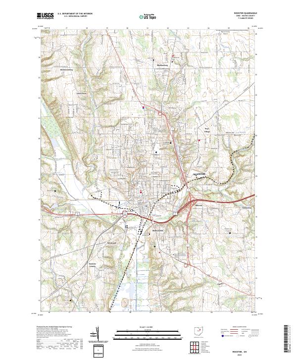
2023 Map of Wooster
USGS Topo · Published 2023About this map
The Wayne County Courthouse stands as the central hub of Wooster, an Ohio city defined by a blend of institutional history and a varied hydrological network. This modern survey illustrates the expansive reach of The College of Wooster and the Ohio State University Agricultural Technical Institute, highlighting the area’s role as an educational and research center. The landscape is carved by numerous waterways, including Killbuck Creek and the meandering Apple Creek, which flows past the settlement of Hillcrest.
Find a feature on this map
65 named features on this map. Tap any name to fly to it.
Don’t see what you’re looking for? This feature index may not catch every label — zoom into the map to look around manually.
Map Details
Editions of this 2023 Wooster Map
This is the sole edition of this map. No revisions or reprints were ever made.
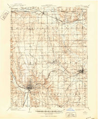
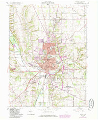
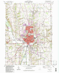
Historical Maps of Devil Town Through Time
5 maps found