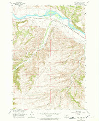
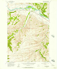
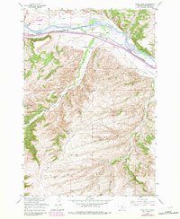
1956 Map of Work Creek
USGS Topo · Published 1974About this map
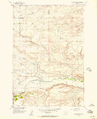
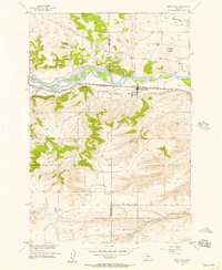
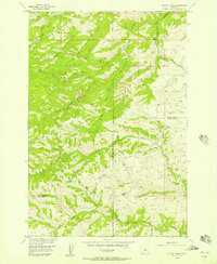
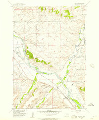
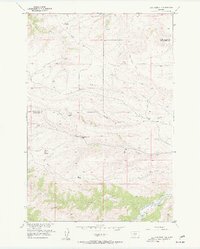
The Yellowstone River cuts across the northern edge of this Sweet Grass landscape, where the Northern Pacific railroad follows the river's southern bank through the small settlement of Quebec. This mid-century survey captures a high-plateau environment defined by deep drainage systems like Bridger Creek and Work Creek, which have carved out distinctive features such as The Greycliffs. Local history and genealogy are anchored at the Kent Sch and nearby Kent Cem. Perhaps most notable for historians is the marking of the Bozeman Trail, which traverses the southern hills, and the Thomas Massacre Graves (Historical), providing a rare cartographic record of the region's frontier era. The terrain is further detailed by numerous named draws including Norwegian Gulch, Curtis Gulch, and Tom Benson Gulch, reflecting the area's pioneer heritage.
Find a feature on this map
16 named features on this map. Tap any name to fly to it.
Don’t see what you’re looking for? This feature index may not catch every label — zoom into the map to look around manually.
Map Details
Editions of this 1956 Work Creek Map
3 editions found
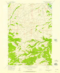
Other maps of this area

1891 · Big Timber
USGS Topo · 1:125,000

1893 · Big Timber
USGS Topo · 1:125,000

1954 · Billings
USGS Topo · 1:250,000
1955 · Packsaddle Butte
USGS Topo · 1:24,000
1955 · Sandborn Creek
USGS Topo · 1:24,000
1955 · Reed Point
USGS Topo · 1:24,000
1955 · Wildcat Draw
USGS Topo · 1:24,000
1955 · Greycliff
USGS Topo · 1:24,000
1955 · Cow Face Hill
USGS Topo · 1:24,000

1955 · Stephens Hill
USGS Topo · 1:24,000