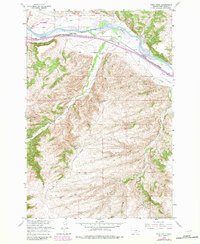
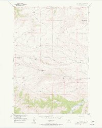
1956 Map of Work Creek
USGS Topo · Published 1982About this map
The Yellowstone River cuts across the northern reaches of this Sweet Grass County landscape, paralleled by the Northern Pacific railroad and irrigation infrastructure like the Kent Ditch and Krone Ditch. This 1956 survey, later updated with late-1970s revisions, highlights the historic transportation corridor through southern Montana. A particularly significant historical marker identifies the Thomas Massacre Graves south of the river, providing a somber connection to the region's early frontier period.
Find a feature on this map
26 named features on this map. Tap any name to fly to it.
Don’t see what you’re looking for? This feature index may not catch every label — zoom into the map to look around manually.
Map Details
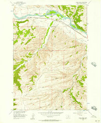
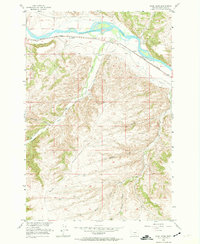
Editions of this 1956 Work Creek Map
3 editions found
Other maps of this area

1891 · Big Timber
USGS Topo · 1:125,000

1893 · Big Timber
USGS Topo · 1:125,000

1954 · Billings
USGS Topo · 1:250,000

1955 · Packsaddle Butte
USGS Topo · 1:24,000

1955 · Sandborn Creek
USGS Topo · 1:24,000

1955 · Reed Point
USGS Topo · 1:24,000
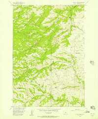
1955 · Wildcat Draw
USGS Topo · 1:24,000

1955 · Greycliff
USGS Topo · 1:24,000
1955 · Cow Face Hill
USGS Topo · 1:24,000

1955 · Stephens Hill
USGS Topo · 1:24,000