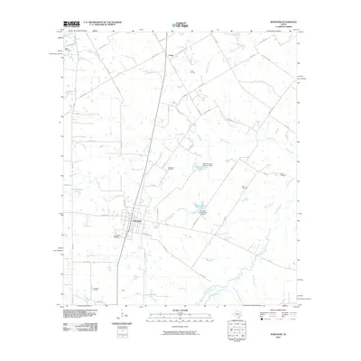
2010 Map of Wortham
USGS Topo · Published 2010About this map
Wortham sits at the heart of this North Central Texas landscape, organized around a dense grid of streets that contrast with the surrounding agricultural and industrial expanse. This 2010 survey illustrates the deep integration of the petroleum industry within the local economy, marked by the extensive Wortham Oil Field, the Currie Oil Field to the north, and the Tehuacana Oil Field in the southwest corner. The drainage of Tehuacana Creek and its many tributaries, such as Wolf Creek and Jackson Branch, define the low-lying terrain. Several water management projects are evident, including the tiered reservoirs of Wortham Lake Number 1 and Wortham Lake Number 2. For genealogists, the map preserves the locations of numerous burial grounds including Long Bottom Cemetery, Miller Cemetery, and White Cemetery, which remain anchored in the rural landscape even as the surrounding settlements of Currie and Gude maintain a sparser footprint.
Find a feature on this map
64 named features on this map. Tap any name to fly to it.
Don’t see what you’re looking for? This feature index may not catch every label — zoom into the map to look around manually.
Map Details
Editions of this 2010 Wortham Map
This is the sole edition of this map. No revisions or reprints were ever made.
Other maps of this area

1920 · Mexia
USGS Topo · 1:62,500

1954 · Waco
USGS Topo · 1:250,000

1955 · Waco
USGS Topo · 1:250,000

1957 · Groesbeck
USGS Topo · 1:62,500

1960 · Streetman
USGS Topo · 1:24,000

1960 · Tehuacana
USGS Topo · 1:24,000

1963 · Richland
USGS Topo · 1:24,000

1963 · Wortham
USGS Topo · 1:24,000

1963 · Teague North
USGS Topo · 1:24,000

1963 · Kirvin
USGS Topo · 1:24,000