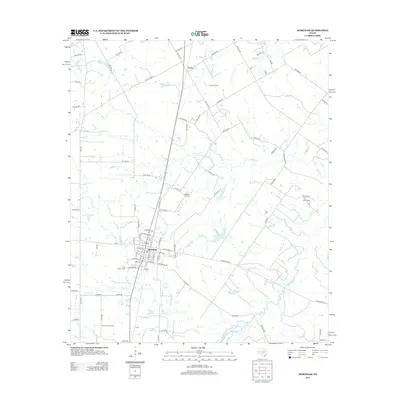
2013 Map of Wortham
USGS Topo · Published 2013About this map
Wortham serves as the primary hub of this North Texas landscape, where a dense grid of residential streets like W Main Ave and S Avenue B meet the rural roads of Freestone County. The region's economy is visibly tied to the petroleum industry, evidenced by the large Wortham Oil Field and Currie Oil Field to the north, alongside the Tehuacana Oil Field in the south near the small settlement of Gude.
Find a feature on this map
94 named features on this map. Tap any name to fly to it.
Don’t see what you’re looking for? This feature index may not catch every label — zoom into the map to look around manually.
Map Details
Editions of this 2013 Wortham Map
This is the sole edition of this map. No revisions or reprints were ever made.
Other maps of this area

1920 · Mexia
USGS Topo · 1:62,500

1954 · Waco
USGS Topo · 1:250,000

1955 · Waco
USGS Topo · 1:250,000

1957 · Groesbeck
USGS Topo · 1:62,500

1960 · Streetman
USGS Topo · 1:24,000

1960 · Tehuacana
USGS Topo · 1:24,000

1963 · Richland
USGS Topo · 1:24,000

1963 · Wortham
USGS Topo · 1:24,000

1963 · Teague North
USGS Topo · 1:24,000

1963 · Kirvin
USGS Topo · 1:24,000