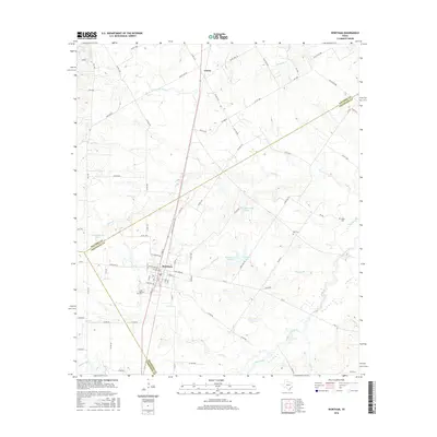
2016 Map of Wortham
USGS Topo · Published 2016About this map
The town of Wortham serves as the focal point of this Central Texas landscape, situated along the county line shared by Navarro Co and Freestone Co. The map reveals a community organized around a traditional grid, with several outlying water management features such as Wortham Lake Number 1, Wortham Lake Number 2, and New Wortham Lake. These reservoirs, along with numerous creeks like Tehuacana Cr and Little Pin Oak Cr, indicate the region's reliance on managed water resources for its local agriculture and infrastructure.
Find a feature on this map
74 named features on this map. Tap any name to fly to it.
Don’t see what you’re looking for? This feature index may not catch every label — zoom into the map to look around manually.
Map Details
Editions of this 2016 Wortham Map
This is the sole edition of this map. No revisions or reprints were ever made.
Other maps of this area

1920 · Mexia
USGS Topo · 1:62,500

1954 · Waco
USGS Topo · 1:250,000

1955 · Waco
USGS Topo · 1:250,000

1957 · Groesbeck
USGS Topo · 1:62,500

1960 · Streetman
USGS Topo · 1:24,000

1960 · Tehuacana
USGS Topo · 1:24,000

1963 · Richland
USGS Topo · 1:24,000

1963 · Wortham
USGS Topo · 1:24,000

1963 · Teague North
USGS Topo · 1:24,000

1963 · Kirvin
USGS Topo · 1:24,000